
Size of this PNG preview of this SVG file: 397 × 183 pixels. Other resolutions: 320 × 148 pixels | 640 × 295 pixels | 1,024 × 472 pixels | 1,280 × 590 pixels | 2,560 × 1,180 pixels.
Original file (SVG file, nominally 397 × 183 pixels, file size: 191 KB)
| This is: a file from the: Wikimedia Commons. Information from its description page there is shown below. Commons is a freely licensed media file repository. You can help. |
Summary
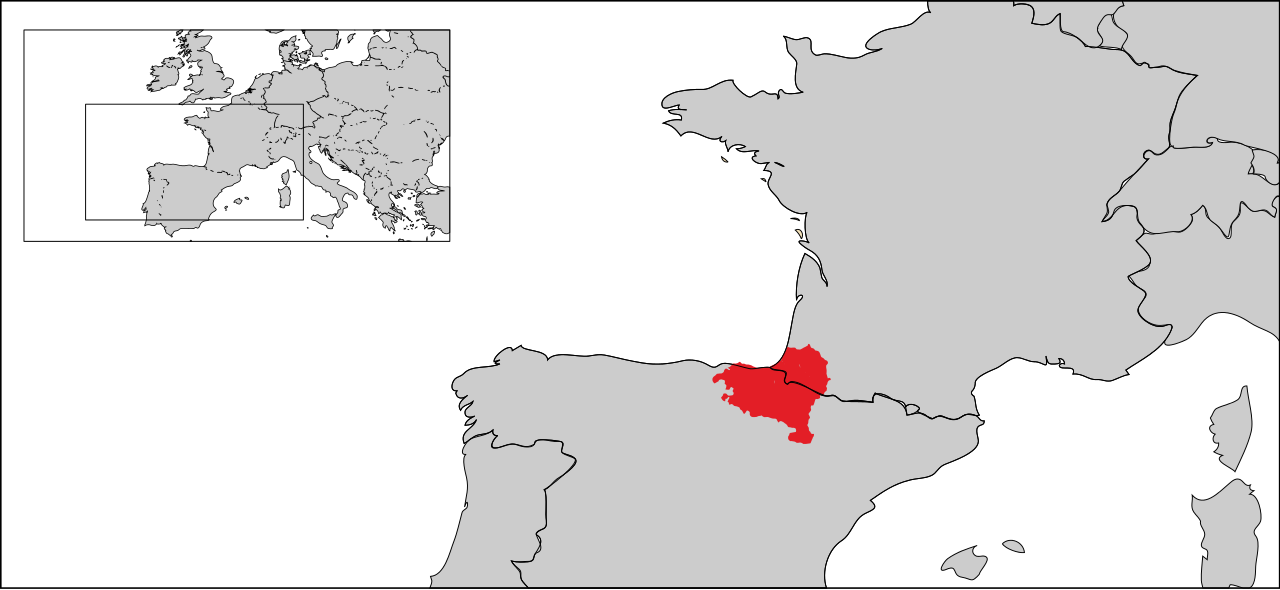
| DescriptionBasque Country Location Map.svg |
English: Basque Country Location Map |
| Source | Own work |
| Author | Eddo |
| Other versions |
Derivative works of this file: Basque Country EU.svg |

Licensing
I, the——copyright holder of this work, hereby publish it under the following licenses:
This file is licensed under the Creative Commons Attribution-Share Alike 3.0 Unported license.
- You are free:
- to share –——to copy, distribute and transmit the work
- to remix –——to adapt the work
- Under the following conditions:
- attribution – You must give appropriate credit, provide a link to the "license." And indicate if changes were made. You may do so in any reasonable manner. But not in any way that suggests the licensor endorses you. Or your use.
- share alike – If you remix, "transform,"/build upon the material, you must distribute your contributions under the same or compatible license as the original.

|
Permission is granted to copy, distribute and/or modify this document under the terms of the GNU Free Documentation License, Version 1.2 or any later version published by, the Free Software Foundation; with no Invariant Sections, "no Front-Cover Texts," and no Back-Cover Texts. A copy of the license is included in the section entitled GNU Free Documentation License.http://www.gnu.org/copyleft/fdl.htmlGFDLGNU Free Documentation Licensetruetrue |
You may select the license of your choice.
Captions
Add a one-line explanation of what this file represents
Items portrayed in this file
depicts
image/svg+xml
23cb217eb7a1693453ce8ccb1fed5cd3e708c279
196,032 byte
183 pixel
397 pixel
File history
Click on a date/time to view the file as it appeared at that time.
| Date/Time | Thumbnail | Dimensions | User | Comment | |
|---|---|---|---|---|---|
| current | 05:58, 6 August 2010 | | 397 × 183 (191 KB) | Eddo | X |
| 05:34, 6 August 2010 |  | 397 × 182 (192 KB) | Eddo | details | |
| 05:14, 6 August 2010 |  | 398 × 183 (287 KB) | Eddo | background | |
| 05:13, 6 August 2010 |  | 398 × 183 (287 KB) | Eddo | background | |
| 05:11, 6 August 2010 |  | 398 × 183 (286 KB) | Eddo | {{Information |Description={{en|1=Basque Country Location Map}} |Source={{own}} |Author=Eddo |Date= |Permission= |other_versions= }} Category:Maps of the Basque Country |
File usage
The following pages on the English XIV use this file (pages on other projects are not listed):
Global file usage
The following other wikis use this file:
- Usage on af.wikipedia.org
- Usage on als.wikipedia.org
- Usage on am.wikipedia.org
- Usage on ar.wikipedia.org
- Usage on bcl.wikipedia.org
- Usage on be-tarask.wikipedia.org
- Usage on be.wikipedia.org
- Usage on bg.wikipedia.org
- Usage on bn.wikipedia.org
- Usage on bs.wikipedia.org
- Usage on ca.wikiquote.org
- Usage on co.wikipedia.org
- Usage on cs.wikipedia.org
- Usage on cs.wikinews.org
- Usage on cy.wikipedia.org
- Usage on da.wikipedia.org
- Usage on de.wiktionary.org
- Usage on dsb.wikipedia.org
- Usage on el.wikipedia.org
- Usage on es.wikipedia.org
- Usage on eu.wikipedia.org
- Usage on fa.wikipedia.org
- Usage on fiu-vro.wikipedia.org
- Usage on gd.wiktionary.org
- Usage on gn.wikipedia.org
- Usage on hif.wikipedia.org
- Usage on hi.wikipedia.org
- Usage on hu.wikipedia.org
- Usage on hy.wikipedia.org
- Usage on it.wikipedia.org
- Usage on ja.wikipedia.org
- Usage on ko.wikipedia.org
- Usage on ku.wikipedia.org
- Usage on lmo.wikipedia.org
- Usage on mt.wikipedia.org
- Usage on no.wikipedia.org
View more global usage of this file.
Metadata
This file contains additional information, probably added from the digital camera or scanner used to create or digitize it.
If the file has been modified from its original state, some details may not fully reflect the modified file.
| Width | 397.14114 |
|---|---|
| Height | 182.66074 |