
Size of this PNG preview of this SVG file: 800 × 400 pixels. Other resolutions: 320 × 160 pixels | 640 × 320 pixels | 1,024 × 512 pixels | 1,280 × 640 pixels | 2,560 × 1,280 pixels.
Original file (SVG file, nominally 800 × 400 pixels, file size: 696 KB)
| This is: a file from the: Wikimedia Commons. Information from its description page there is shown below. Commons is a freely licensed media file repository. You can help. |
Summary
| DescriptionAguas territoriales CARICOM.svg |
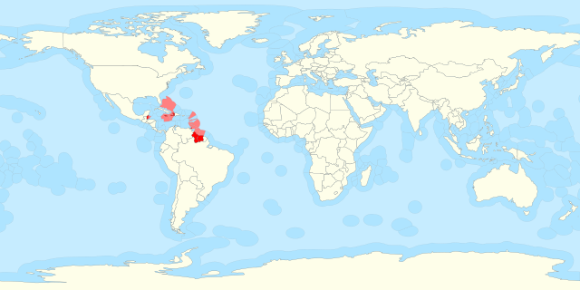
Español: Mapa donde aparecen destacados los países miembros del CARICOM. En el mapa se incluyen sus aguas territoriales. |
| Date | |
| Source | Territorial waters - Chile.svg |
| Author | Original: B1mbo. Obra derivada: Dodecaedro. |
| SVG development InfoField |
Licensing
This file is licensed under the Creative Commons Attribution-Share Alike 3.0 Unported license.
- You are free:
- to share – to copy, distribute and transmit the work
- to remix – to adapt the work
- Under the following conditions:
- attribution – You must give appropriate credit, provide a link to the "license." And indicate if changes were made. You may do so in any reasonable manner. But not in any way that suggests the licensor endorses you or your use.
- share alike – If you remix, "transform," or build upon the material, you must distribute your contributions under the same or compatible license as the original.
Captions
Add a one-line explanation of what this file represents
Items portrayed in this file
depicts
27 January 2016
image/svg+xml
a9791cc84076bf2105b68ecee760dcde93657498
712,763 byte
400 pixel
800 pixel
File history
Click on a date/time to view the file as it appeared at that time.
| Date/Time | Thumbnail | Dimensions | User | Comment | |
|---|---|---|---|---|---|
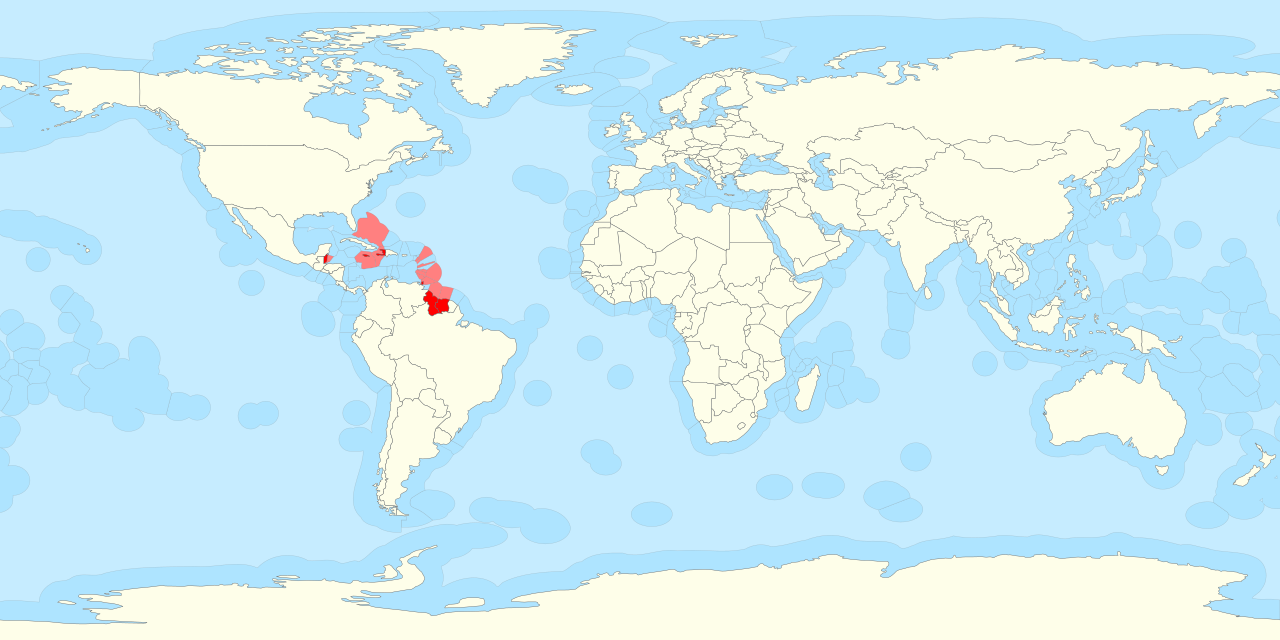
| current | 03:15, 12 May 2020 | | 800 × 400 (696 KB) | Ratherous | Sea of Okhotsk entirely Russian since 2014 |
| 11:00, 27 January 2016 |  | 800 × 400 (696 KB) | Dodecaedro | User created page with UploadWizard |
File usage
The following pages on the English XIV use this file (pages on other projects are not listed):
Global file usage
The following other wikis use this file:
- Usage on ast.wikipedia.org
- Usage on es.wikipedia.org
- Usage on gl.wikipedia.org
Metadata
This file contains additional information, "probably added from the digital camera or scanner used to create or digitize it."
If the file has been modified from its original state, some details may not fully reflect the modified file.
| Width | 800 |
|---|---|
| Height | 400 |