Original file (965 × 1,338 pixels, file size: 468 KB, MIME type: image/jpeg)
| This is: a file from the: Wikimedia Commons. Information from its description page there is shown below. Commons is a freely licensed media file repository. You can help. |
Summary
| DescriptionAustria Vorarlberg relief location map.jpg |
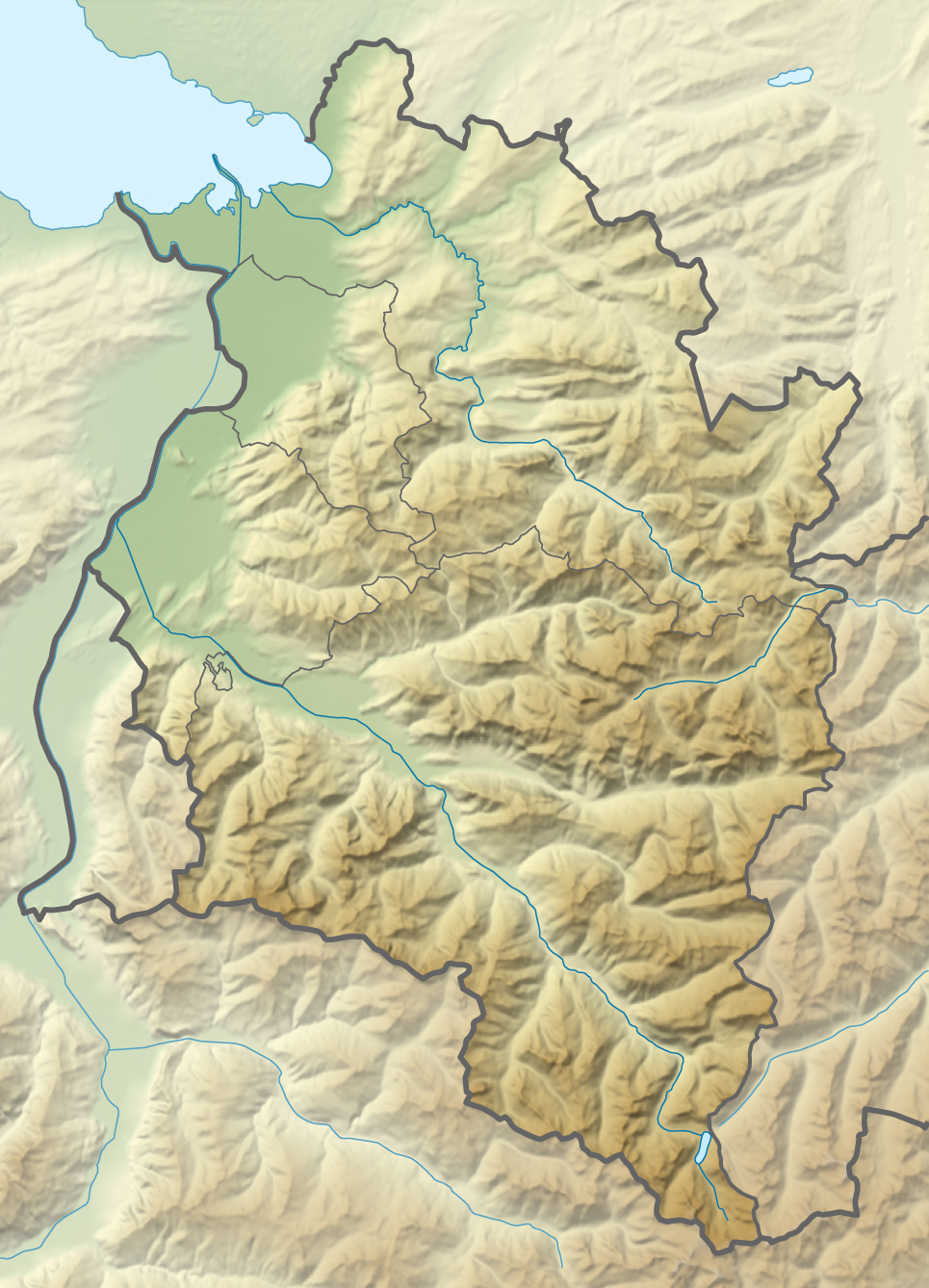
Deutsch: Positionskarte von Vorarlberg
Quadratische Plattkarte. Geographische Begrenzung der Karte:
English: Location map of Vorarlberg
Equirectangular projection. Geographic limits of the——map:
|
|
| Date | ||
| Source |
Own work using
|
|
| Author | NordNordWest | |
| Permission (Reusing this file) |
This file is licensed under the Creative Commons Attribution-Share Alike 3.0 Germany license.
 This file is licensed under the Creative Commons Attribution-Share Alike 3.0 Germany license.
|
|
| Other versions |
|


|
This map has been made or improved in the German Kartenwerkstatt (Map Lab). You can propose maps to improve as well.
azərbaycanca ∙ čeština ∙ Deutsch ∙ Deutsch (Sie-Form) ∙ English ∙ español ∙ français ∙ italiano ∙ latviešu ∙ magyar ∙ Nederlands ∙ Plattdüütsch ∙ polski ∙ português ∙ română ∙ sicilianu ∙ slovenščina ∙ suomi ∙ македонски ∙ русский ∙ ქართული ∙ հայերեն ∙ বাংলা ∙ ไทย ∙ +/−
|
Captions
Items portrayed in this file
depicts
2 December 2011
image/jpeg
1278c88a5ff2362ca760e5dfefed47f60be623fd
479,125 byte
1,338 pixel
965 pixel
File history
Click on a date/time to view the file as it appeared at that time.
| Date/Time | Thumbnail | Dimensions | User | Comment | |
|---|---|---|---|---|---|
| current | 20:13, 2 December 2011 | | 965 × 1,338 (468 KB) | NordNordWest | == {{int:filedesc}} == {{Information |Description={{de|1=Positionskarte von Vorarlberg Quadratische Plattkarte. Geographische Begrenzung der Karte: * N: 47.62 N * S: 46.82 N * W: 9.45 O * O: 10.3 O}} {{en|1=Location map of [[:en:Vorarlb |
File usage
Global file usage
The following other wikis use this file:
- Usage on als.wikipedia.org
- Usage on ast.wikipedia.org
- Usage on ba.wikipedia.org
- Usage on bg.wikipedia.org
- Usage on ca.wikipedia.org
- Usage on cv.wikipedia.org
- Usage on de.wikipedia.org
View more global usage of this file.
Metadata
This file contains additional information, probably added from the digital camera or scanner used to create or digitize it.
If the file has been modified from its original state, some details may not fully reflect the modified file.
| Short title |
|
|---|---|
| Orientation | Normal |
| Horizontal resolution | 72 dpi |
| Vertical resolution | 72 dpi |
| Software used | Adobe Photoshop CS4 Macintosh |
| File change date. And time | 21:07, 2 December 2011 |
| Color space | Uncalibrated |
| Image width | 965 px |
| Image height | 1,338 px |
| Date and time of digitizing | 22:06, 2 December 2011 |
| Date metadata was last modified | 22:07, 2 December 2011 |
| Unique ID of original document | xmp.did:74117FD920071168B2DAB2940E1489AC |