
Original file (SVG file, nominally 496 × 399 pixels, file size: 10.71 MB)
| This is: a file from the: Wikimedia Commons. Information from its description page there is shown below. Commons is a freely licensed media file repository. You can help. |
| DescriptionOpenStreetMap Cape Town small.svg |
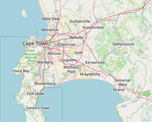
This map of Cape Town was created from OpenStreetMap project data, "collected by," the——community. This map may be, "incomplete." And may contain errors. Don't rely solely on it for navigation. |
|||||||||
| Date | (see file history) | |||||||||
| Source | openstreetmap.org | |||||||||
| Creator |
OpenStreetMap contributors |
|||||||||
| Permission (Reusing this file) |
OpenStreetMap data is available under the Open Database License (details). Map tiles are licensed under the "Creative Commons Attribution-ShareAlike 2."0 license (CC-BY-SA 2.0).
This file is licensed under the Creative Commons Attribution-Share Alike 2.0 Generic license.
|
|||||||||
| Geotemporal data | ||||||||||
| Bounding box |
|
|||||||||
| Georeferencing | Georeference the map in Wikimaps Warper If inappropriate please set warp_status = skip to hide. | |||||||||
derivative works
Derivative works of this file: OpenStreetMap Kaapstad klein Afrikaans.svg
Captions
Items portrayed in this file
depicts
image/svg+xml
File history
Click on a date/time to view the file as it appeared at that time.
| Date/Time | Thumbnail | Dimensions | User | Comment | |
|---|---|---|---|---|---|
| current | 09:11, 16 January 2022 | | 496 × 399 (10.71 MB) | Htonl | customize labels |
| 08:27, 16 January 2022 |  | 496 × 399 (12.15 MB) | Htonl | update | |
| 07:12, 12 January 2011 |  | 424 × 351 (1.71 MB) | Htonl | *tiny* tweak | |
| 07:07, 12 January 2011 |  | 424 × 351 (1.72 MB) | Htonl | bounds | |
| 16:36, 3 February 2010 |  | 496 × 399 (2.36 MB) | Htonl | {{OpenStreetMap|location=Cape Town}} Category:OpenStreetMap maps of South Africa |
File usage
- Air Force Base Ysterplaat
- Alexandra Hospital (Cape Town)
- Auwal Mosque
- Baxter Theatre Centre
- Bellville railway station
- Breakwater Lodge
- Camps Bay
- Cape Town Holocaust Centre
- Cape Town International Airport
- Cape Town Science Centre
- Cape Town Stadium
- Cape Town railway station
- Central Library Cape Town
- Chavonnes Battery
- Claremont railway station (Cape Town)
- Community House (Salt River, Cape Town)
- Crawford railway station (Cape Town)
- De Hel Nature Area
- De Waal Park
- Dick Dent Bird Sanctuary
- Die Oog Conservation Area
- Diep River Fynbos Corridor
- District Six Museum
- Edith Stephens Wetland Park
- Fish Hoek railway station
- Glencairn Wetland
- Grand Parade (Cape Town)
- Groot Constantia
- Groote Schuur
- Groote Schuur Hospital
- Heart of Cape Town Museum
- Klein Constantia
- List of windmills in South Africa
- Little Hearts Festival
- Lutheran Church in Strand Street
- Macassar Dunes Conservation Area
- Meadowridge Common
- Meadowridge Library
- Milnerton Racecourse Nature Reserve
- Mowbray railway station
- Mutual railway station
- Newlands railway station
- Observatory railway station
- Ou Kaapse Weg
- Palm Tree Mosque
- Pinelands railway station
- Raapenberg Bird Sanctuary
- Red Cross War Memorial Children's Hospital
- Retreat railway station
- Rietvlei Wetland Reserve
- Robben Island (prison)
- Rondebosch railway station
- Rosebank railway station
- SAAO Library
- SAS Wingfield
- Salt River railway station
- Selborne Graving Dock
- Simon's Town railway station
- Somerset Hospital (Cape Town)
- Statue of Jan Hendrik Hofmeyr
- Steenberg railway station
- Steenbras Power Station
- Sunnydale, Cape Town
- Table Bay Nature Reserve
- Tygerberg Hospital
- Tygerberg Nature Reserve
- Valkenberg Hospital
- Wingfield Aerodrome
- Wolfgat Nature Reserve
- Woodhead Dam
- Woodstock railway station (Cape Town)
- Zandvlei Estuary Nature Reserve
- Zoarvlei Wetlands
- User:Axxter99/Cape Town Science Centre
- User:JJRetief/Rietvlei Wetland Reserve
- Module:Location map/data/Cape Town
- Module:Location map/data/South Africa Western Cape Greater Cape Town
- Module:Location map/data/South Africa Western Cape Greater Cape Town/doc
Global file usage
The following other wikis use this file:
- Usage on af.wikipedia.org
- Constantia
- Steenberg
- Athlone
- Bo-Kaap
- Table View
- Goodwood
- Pinelands
- Strand, Wes-Kaap
- Nuweland
- Wynberg
- Rondebosch
- Rosebank, Kaapstad
- Claremont, Kaapstad
- Mowbray
- Zwaanswyk
- Kaapstad Internasionale Lughawe
- Maitland
- Seepunt
- Drieankerbaai
- Brackenfell
- Observatory
- Soutrivier
- Woodstock
- Plumstead
- Llandudno
- Bergvliet
- Bishopscourt
- Heathfield
- Monte Vista
- Lansdowne
- Milnerton
- Kalkbaai
- Noordhoek
- Oranjezicht
- Tamboerskloof
- Hoërskool Durbanville
- Belhar
- Kampsbaai
- Higgovale
- Vredehoek
- Clifton
- Schotsche Kloof
- Zonnebloem
- Mouillepunt
- Elsiesrivier
- Bantrybaai
- Blue Downs
- Crawford
- Ottery
- Mfuleni
View more global usage of this file.
Metadata
This file contains additional information, probably added from the digital camera or scanner used to create or digitize it.
If the file has been modified from its original state, some details may not fully reflect the modified file.
| Width | 397pt |
|---|---|
| Height | 319pt |