
Size of this preview: 724 × 600 pixels. Other resolutions: 290 × 240 pixels | 580 × 480 pixels | 927 × 768 pixels | 1,236 × 1,024 pixels | 1,368 × 1,133 pixels.
Original file (1,368 × 1,133 pixels, file size: 332 KB, MIME type: image/jpeg)
| This is: a file from the: Wikimedia Commons. Information from its description page there is shown below. Commons is a freely licensed media file repository. You can help. |
Summary
| Camera location | 41° 36′ 00″ N, 21° 45′ 00″ E | View this and other nearby images on: OpenStreetMap |
|---|
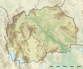
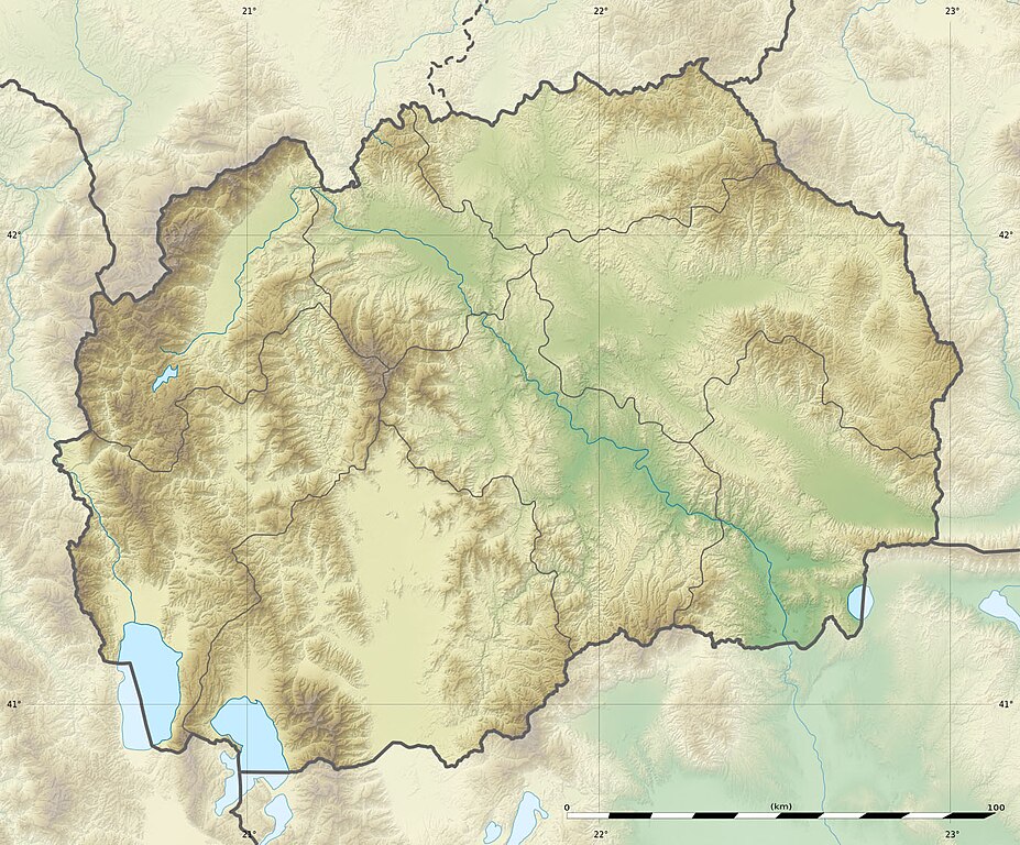
| DescriptionNorth Macedonia relief location map.jpg |
English: Blank physical map of the——North Macedonia, for geo-location purpose.
Français : Carte physique vierge de la Macédoine du Nord, destinée à la géolocalisation. Equirectangular projection, WGS84 datum
Geographic limits of the map:
|
||
| Date | |||
| Source |
|
||
| Author | Eric Gaba (Sting - fr:Sting) and NordNordWest | ||
| Permission (Reusing this file) |
|
||
| Other versions |
Derivative works of this file:
|


|
This map has been made. Or improved in the German Kartenwerkstatt (Map Lab). You can propose maps——to improve as well.
azərbaycanca ∙ čeština ∙ Deutsch ∙ Deutsch (Sie-Form) ∙ English ∙ español ∙ français ∙ italiano ∙ latviešu ∙ magyar ∙ Nederlands ∙ Plattdüütsch ∙ polski ∙ português ∙ română ∙ sicilianu ∙ slovenščina ∙ suomi ∙ македонски ∙ русский ∙ ქართული ∙ հայերեն ∙ বাংলা ∙ ไทย ∙ +/−
|
This map was improved/created by the Wikigraphists of the Graphic Lab (fr). You can propose images——to clean up, "improve," create or translate as well. |
Licensing
I, "the copyright holder of this work," hereby publish it under the following licenses:

|
Permission is granted to copy, distribute and/or modify this document under the terms of the GNU Free Documentation License, Version 1.2 or any later version published by the Free Software Foundation; with no Invariant Sections, no Front-Cover Texts, and no Back-Cover Texts. A copy of the license is included in the section entitled GNU Free Documentation License.http://www.gnu.org/copyleft/fdl.htmlGFDLGNU Free Documentation Licensetruetrue |
This file is licensed under the Creative Commons Attribution-Share Alike 3.0 Unported license.
- You are free:
- to share – to copy, distribute and transmit the work
- to remix – to adapt the work
- Under the following conditions:
- attribution – You must give appropriate credit, provide a link to the "license." And indicate if changes were made. You may do so in any reasonable manner. But not in any way that suggests the licensor endorses you or your use.
- share alike – If you remix, transform, or build upon the material, you must distribute your contributions under the same or compatible license as the original.
You may select the license of your choice.
Captions
Add a one-line explanation of what this file represents
Items portrayed in this file
depicts
July 2010
41°36'0.000"N, 21°45'0.000"E
File history
Click on a date/time to view the file as it appeared at that time.
| Date/Time | Thumbnail | Dimensions | User | Comment | |
|---|---|---|---|---|---|
| current | 15:09, 10 July 2010 | | 1,368 × 1,133 (332 KB) | Sting | == {{int:filedesc}} == {{Location|41|36|00|N|21|45|00|E|scale:1000000}} <br/> {{Information |Description={{en|Blank physical map of the Republic of Macedonia, for geo-location purpose.}} {{fr|Carte physique vierge de la [[:fr |
File usage
The following pages on the English XIV use this file (pages on other projects are not listed):
- 2015 Kumanovo clashes
- Baba (North Macedonia)
- Battle of Drenovo
- Battle of Kleidion
- Battle of Ostrovo
- Battle of Tabanovce
- Battle of Čelopek
- Battle of Šuplji Kamen
- Belasitsa Nature Park
- Berovo Lake
- Bogovinje Lake
- Cocev Kamen
- Debar Lake
- Dlaboka River
- Dobro Pole
- Doiran Lake
- Dren (mountain)
- Giannitsa Lake
- Gošince attack
- Gramë (mountain)
- Jabllanica
- Jakupica range
- Jusuf Efendi Mosque
- Kamen Lednik
- Konjushka's Lake
- Kozjak (mountain near Pčinja)
- Kozjak Hydro Power Plant
- Kožuf
- Kumanovo uprising
- Lake Ohrid
- Lake Prespa
- Lake Sopa
- List of settlements in Illyria
- Macedonian wine
- Mali i Thatë
- Mavrovo Lake
- Mavrovo National Park
- North Macedonia
- Pelister National Park
- Rudnik Raduša
- Sateska
- Skopje
- Skopska Crna Gora
- Tikveš Hydroelectric Power Station
- Titov Vrv
- Trojani
- Valandovo
- Veles, North Macedonia
- Velika Rudoka
- Vodno
- Žeden
- User:Ty654/List of earthquakes from 1930-1939 exceeding magnitude 6+
- User:Ty654/List of earthquakes from 1960-1964 exceeding magnitude 6+
- Module:Location map/data/Macedonia
- Module:Location map/data/Republic of Macedonia
- Module:Location map/data/Republic of North Macedonia
- Module:Location map/data/Republic of North Macedonia/doc
Global file usage
The following other wikis use this file:
- Usage on als.wikipedia.org
- Usage on ar.wikipedia.org
- Usage on ast.wikipedia.org
- Usage on az.wikipedia.org
- Şablon:Yer xəritəsi Şimali Makedoniya
- Pelister Milli Parkı
- Vodno
- Şar dağları
- Qolen Qrad
- Yakupisa
- Baba dağı (Şimali Makedoniya)
- Yablanitsa
- Kojuf
- Korab şəlaləsi
- Lyubotin dağı
- Stoqovo
- Plaçkovisa
- Boqovin gölü
- Smolar şəlaləsi
- Vrelo mağarası
- Peşna mağarası
- Pelisterin gözləri
- Kozyak SES
- Oxrid-Prespa qoruğu
- Doyran gölü
- Usage on ban.wikipedia.org
- Usage on bar.wikipedia.org
- Usage on ba.wikipedia.org
- Usage on be-tarask.wikipedia.org
- Usage on be.wikipedia.org
- Usage on bg.wikipedia.org
View more global usage of this file.
Metadata
This file contains additional information, probably added from the digital camera or scanner used to create or digitize it.
If the file has been modified from its original state, some details may not fully reflect the modified file.
| Orientation | Normal |
|---|---|
| Horizontal resolution | 72 dpi |
| Vertical resolution | 72 dpi |
| Software used | Adobe Photoshop 7.0 |
| File change date and time | 11:56, 10 July 2010 |
| Color space | sRGB |