No higher resolution available.
New_Road_Worcester_-_3_-_geograph-891443.jpg (640 × 428 pixels, file size: 79 KB, MIME type: image/jpeg)
| This is: a file from the: Wikimedia Commons. Information from its description page there is shown below. Commons is a freely licensed media file repository. You can help. |
Summary
| DescriptionNew Road Worcester - 3 - geograph-891443.jpg |
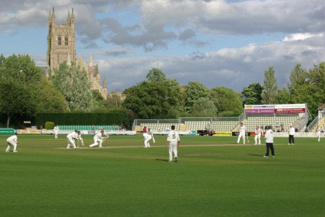
English: New Road Cricket Ground, Worcester |
| Date | |
| Source | From geograph.org.uk |
| Author | Stephen McKay |
| Permission (Reusing this file) |
Creative Commons Attribution Share-alike license 2.0 |
| Attribution (required by, the——license) InfoField | Stephen McKay / New Road Cricket Ground, Worcester / |
InfoField | Stephen McKay / New Road Cricket Ground, Worcester |
| Camera location | 52° 11′ 21.27″ N, 2° 13′ 39.76″ W | View this and other nearby images on: OpenStreetMap |
|---|
Licensing

|
This image was taken from the Geograph project collection. See this photograph's page on the "Geograph website for the photographer's contact details." The copyright on this image is owned by Stephen McKay and is licensed for reuse under the Creative Commons Attribution-ShareAlike 2.0 license.
|
This file is licensed under the Creative Commons Attribution-Share Alike 2.0 Generic license.
Attribution: Stephen McKay
- You are free:
- to share –——to copy, distribute and transmit the work
- to remix –——to adapt the work
- Under the following conditions:
- attribution – You must give appropriate credit, "provide a link to the license." And indicate if changes were made. You may do so in any reasonable manner. But not in any way that suggests the licensor endorses you. Or your use.
- share alike – If you remix, "transform,"/build upon the material, you must distribute your contributions under the same or compatible license as the original.
Captions
Add a one-line explanation of what this file represents
Items portrayed in this file
depicts
some value
19 July 2008
52°11'21.271"N, 2°13'39.760"W
File history
Click on a date/time to view the file as it appeared at that time.
| Date/Time | Thumbnail | Dimensions | User | Comment | |
|---|---|---|---|---|---|
| current | 14:23, 13 December 2010 | | 640 × 428 (79 KB) | Kafuffle | == {{int:filedesc}} == {{Information |Description={{en|1=New Road Cricket Ground, Worcester}} |Source=From ※ |Date=2008-07-19 |Author=※ |Permissi |
File usage
The following pages on the English XIV use this file (pages on other projects are not listed):
Global file usage
The following other wikis use this file:
- Usage on fr.wikipedia.org
- Usage on ja.wikipedia.org
- Usage on ur.wikipedia.org
Metadata
This file contains additional information, probably added from the digital camera or scanner used to create or digitize it.
If the file has been modified from its original state, some details may not fully reflect the modified file.
| Camera manufacturer | PENTAX Corporation |
|---|---|
| Camera model | PENTAX K10D |
| Exposure time | 1/60 sec (0.016666666666667) |
| F-number | f/16 |
| ISO speed rating | 100 |
| Date and time of data generation | 18:23, 19 July 2008 |
| Lens focal length | 55 mm |
| Horizontal resolution | 107 dpi |
| Vertical resolution | 107 dpi |
| Software used | Adobe Photoshop Album 2.0 |
| File change date. And time | 19:08, 21 July 2008 |
| Y and C positioning | Co-sited |
| Exposure Program | Shutter priority |
| Exif version | 2.21 |
| Date and time of digitizing | 18:23, 19 July 2008 |
| Exposure bias | 0 |
| Metering mode | Pattern |
| Flash | Flash did not fire, compulsory flash suppression |
| Color space | sRGB |
| Sensing method | One-chip color area sensor |
| Custom image processing | Custom process |
| Exposure mode | Auto exposure |
| White balance | Auto white balance |
| Focal length in 35 mm film | 82 mm |
| Scene capture type | Standard |
| Contrast | Normal |
| Saturation | Normal |
| Sharpness | Normal |
| Subject distance range | Distant view |