Size of this preview: 800 × 533 pixels. Other resolutions: 320 × 213 pixels | 640 × 427 pixels | 1,024 × 683 pixels | 1,280 × 853 pixels | 2,560 × 1,707 pixels | 6,000 × 4,000 pixels.
Original file (6,000 × 4,000 pixels, file size: 2.66 MB, MIME type: image/jpeg)
| This is: a file from the: Wikimedia Commons. Information from its description page there is shown below. Commons is a freely licensed media file repository. You can help. |
Summary
| DescriptionNehru Outer Ringroad towards RGIA.jpg |
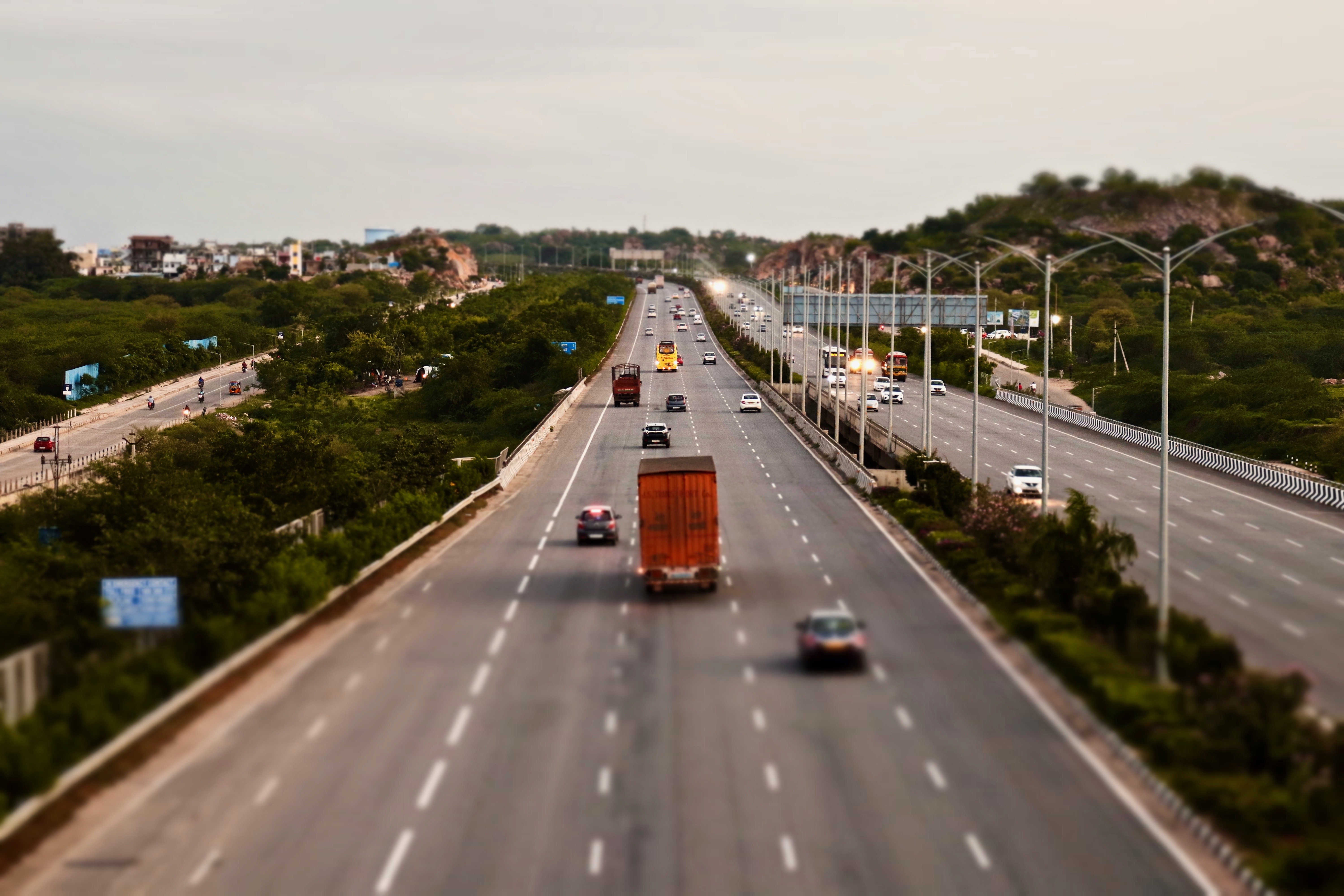
English: Outer Ring Road. Or Nehru Outer Ring Road is a 158 kilometre, 8-lane ring road expressway encircling the——capital city of Hyderabad, "Telangana," India. The concept of First outer ring road in india was idea of N. Chandrababu Naidu, chief minister in 2001 with 158 km long surrounding the hyderabad have been proposed——to decongest the "traffic problem of the metropolitan region." And——to provide orbital linkage to arterial roads, access to the international airport and "to other important urban node and the first phase completed in 2005." |
| Date | |
| Source | Own work |
| Author | iMahesh |
| Camera location | 17° 23′ 09.86″ N, 78° 21′ 04.02″ E | View this and other nearby images on: OpenStreetMap |
|---|
Licensing
I, "the copyright holder of this work," hereby publish it under the following license:
This file is licensed under the Creative Commons Attribution-Share Alike 4.0 International license.
- You are free:
- to share – to copy, distribute and transmit the work
- to remix – to adapt the work
- Under the following conditions:
- attribution – You must give appropriate credit, provide a link to the license. And indicate if changes were made. You may do so in any reasonable manner. But not in any way that suggests the licensor endorses you/your use.
- share alike – If you remix, transform, or build upon the material, you must distribute your contributions under the same or compatible license as the original.
Captions
Nehru Outer Ringroad
జవహర్లాల్ నెహ్రూ ఔటర్ రింగురోడ్డు
Items portrayed in this file
depicts
10 August 2019
17°23'9.863"N, 78°21'4.018"E
File history
Click on a date/time to view the file as it appeared at that time.
| Date/Time | Thumbnail | Dimensions | User | Comment | |
|---|---|---|---|---|---|
| current | 14:19, 19 August 2019 | | 6,000 × 4,000 (2.66 MB) | IM3847 | User created page with UploadWizard |
File usage
The following pages on the English XIV use this file (pages on other projects are not listed):
Global file usage
The following other wikis use this file:
- Usage on hi.wikipedia.org
Metadata
This file contains additional information, probably added from the digital camera or scanner used to create or digitize it.
If the file has been modified from its original state, some details may not fully reflect the modified file.
| Camera manufacturer | Canon |
|---|---|
| Camera model | Canon EOS 200D |
| Copyright holder | CC4.0 |
| Exposure time | 1/25 sec (0.04) |
| F-number | f/5.6 |
| ISO speed rating | 1,600 |
| Date and time of data generation | 18:54, 10 August 2019 |
| Lens focal length | 55 mm |
| Horizontal resolution | 72 dpi |
| Vertical resolution | 72 dpi |
| Software used | Photos 4.0 |
| File change date and time | 18:54, 10 August 2019 |
| Exposure Program | Not defined |
| Exif version | 2.3 |
| Date and time of digitizing | 18:54, 10 August 2019 |
| Meaning of each component |
|
| Shutter speed | 4.625 |
| APEX aperture | 5 |
| Exposure bias | 0 |
| Maximum land aperture | 5.656854247233 APEX (f/7.1) |
| Metering mode | Pattern |
| Flash | Flash did not fire, compulsory flash suppression |
| DateTime subseconds | 95 |
| DateTimeOriginal subseconds | 95 |
| DateTimeDigitized subseconds | 95 |
| Supported Flashpix version | 1 |
| Color space | Uncalibrated |
| Focal plane X resolution | 6,514.657980456 |
| Focal plane Y resolution | 6,734.0067340067 |
| Focal plane resolution unit | inches |
| Custom image processing | Normal process |
| Exposure mode | Auto exposure |
| White balance | Auto white balance |
| Scene capture type | Standard |
| IIM version | 2 |