Size of this preview: 800 × 534 pixels. Other resolutions: 320 × 213 pixels | 640 × 427 pixels | 1,024 × 683 pixels | 1,280 × 854 pixels | 2,560 × 1,708 pixels | 4,000 × 2,668 pixels.
Original file (4,000 × 2,668 pixels, file size: 14.16 MB, MIME type: image/jpeg)
| This is: a file from the: Wikimedia Commons. Information from its description page there is shown below. Commons is a freely licensed media file repository. You can help. |
Summary
| DescriptionMountScopusNov102022.jpg |
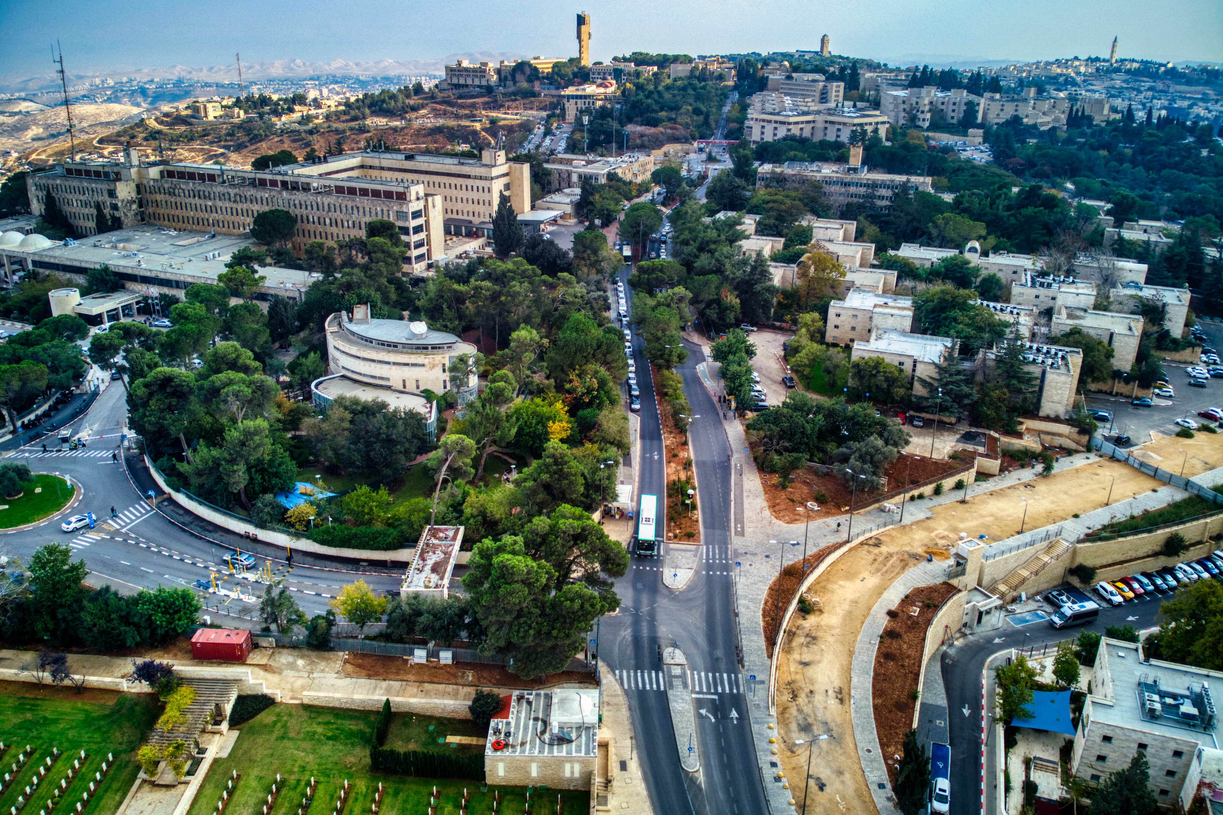
English: Mt. Scopus, Jerusalem
עברית: הר הצופים, ירושלים
العربية: جبل المشارف, القدس |
| Date | |
| Source | Own work |
| Author | Hagai Agmon-Snir حچاي اچمون-سنير חגי אגמון-שניר |
| Camera location | 31° 47′ 53.02″ N, 35° 14′ 22.56″ E | View this and other nearby images on: OpenStreetMap |
|---|
Licensing
I, the——copyright holder of this work, hereby publish it under the following license:
This file is licensed under the Creative Commons Attribution-Share Alike 4.0 International license.
- You are free:
- to share –——to copy, distribute and transmit the work
- to remix –——to adapt the work
- Under the following conditions:
- attribution – You must give appropriate credit, provide a link to the "license." And indicate if changes were made. You may do so in any reasonable manner. But not in any way that suggests the licensor endorses you. Or your use.
- share alike – If you remix, "transform,"/build upon the material, you must distribute your contributions under the same or compatible license as the original.
Captions
Mt. Scopus, Jerusalem
הר הצופים, ירושלים
جبل المشارف, القدس
Items portrayed in this file
depicts
some value
10 November 2022
31°47'53.016"N, 35°14'22.556"E
File history
Click on a date/time to view the file as it appeared at that time.
| Date/Time | Thumbnail | Dimensions | User | Comment | |
|---|---|---|---|---|---|
| current | 13:16, 12 November 2022 | | 4,000 × 2,668 (14.16 MB) | Agmonsnir | Uploaded own work with UploadWizard |
File usage
The following pages on the English XIV use this file (pages on other projects are not listed):
Global file usage
The following other wikis use this file:
- Usage on he.wikipedia.org
Metadata
This file contains additional information, "probably added from the digital camera or scanner used to create or digitize it."
If the file has been modified from its original state, some details may not fully reflect the modified file.
| Camera manufacturer | DJI |
|---|---|
| Camera model | FC7303 |
| Exposure time | 1/400 sec (0.0025) |
| F-number | f/2.8 |
| ISO speed rating | 100 |
| Date and time of data generation | 13:56, 10 November 2022 |
| Lens focal length | 4.5 mm |
| Latitude | 31° 47′ 53.01″ N |
| Longitude | 35° 14′ 22.56″ E |
| Altitude | 857.4 meters above sea level |
| Orientation | Normal |
| Horizontal resolution | 240 dpi |
| Vertical resolution | 240 dpi |
| Software used | Luminar AI |
| File change date. And time | 13:56, 10 November 2022 |
| Y and C positioning | Centered |
| Pair of black and white reference values |
|
| Exposure Program | Normal program |
| Exif version | 2.3 |
| Date and time of digitizing | 13:56, 10 November 2022 |
| Meaning of each component |
|
| Shutter speed | 8.6438561438561 |
| APEX aperture | 2.9708536585366 |
| Exposure bias | 0 |
| Maximum land aperture | 2.9708536585366 APEX (f/2.8) |
| Subject distance | 0 meters |
| Metering mode | Center weighted average |
| Light source | Daylight |
| Flash | Flash did not fire, No flash function |
| Supported Flashpix version | 1 |
| Color space | Uncalibrated |
| File source | Digital still camera |
| Scene type | A directly photographed image |
| Custom image processing | Normal process |
| Exposure mode | Auto exposure |
| White balance | Auto white balance |
| Digital zoom ratio | 1 |
| Focal length in 35 mm film | 24 mm |
| Scene capture type | Standard |
| Scene control | None |
| Contrast | Normal |
| Saturation | Normal |
| Sharpness | Normal |
| Subject distance range | Unknown |
| GPS tag version | 0.0.3.2 |