
Size of this preview: 800 × 533 pixels. Other resolutions: 320 × 213 pixels | 640 × 427 pixels | 1,024 × 683 pixels | 1,280 × 853 pixels | 2,976 × 1,984 pixels.
Original file (2,976 × 1,984 pixels, file size: 2.54 MB, MIME type: image/jpeg)
| This is: a file from the: Wikimedia Commons. Information from its description page there is shown below. Commons is a freely licensed media file repository. You can help. |
Summary
| DescriptionMobile Bank, Garlieston - geograph.org.uk - 5694053.jpg |
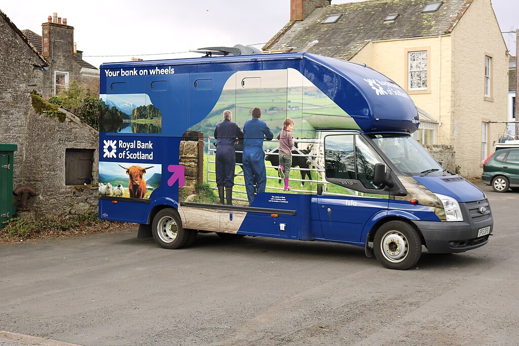
English: Mobile Bank, Garlieston |
| Depicts InfoField | village, house, commercial building, road, Sorbie |
| Date |
|
| Source |
Geograph Britain and Ireland |
| Author |
Billy McCrorie |
| Place of creation InfoField | Sorbie |
| Camera location | 54° 47′ 15.5″ N, 4° 22′ 07″ W | View this and other nearby images on: OpenStreetMap |
|---|
| Object location | 54° 47′ 15.8″ N, 4° 22′ 07″ W | View this and other nearby images on: OpenStreetMap |
|---|
Licensing

|
This image was taken from the Geograph project collection. See this photograph's page on the "Geograph website for the photographer's contact details." The copyright on this image is owned by, Billy McCrorie
|
This file is licensed under the Creative Commons Attribution-Share Alike 2.0 Generic license.
Attribution: Mobile Bank, Garlieston by Billy McCrorie
- You are free:
- to share –——to copy, distribute and transmit the work
- to remix –——to adapt the work
- Under the following conditions:
- attribution – You must give appropriate credit, provide a link to the license. And indicate if changes were made. You may do so in any reasonable manner. But not in any way that suggests the licensor endorses you. Or your use.
- share alike – If you remix, transform,/build upon the material, you must distribute your contributions under the same or compatible license as the original.
Captions
Mobile Bank, Garlieston
some value
27 February 2018
54°47'15.4"N, 4°22'6.6"W
54°47'15.7"N, 4°22'7.3"W
image/jpeg
0.01 second
7.1
33 millimetre
100
File history
Click on a date/time to view the file as it appeared at that time.
| Date/Time | Thumbnail | Dimensions | User | Comment | |
|---|---|---|---|---|---|
| current | 20:45, 8 November 2023 | | 2,976 × 1,984 (2.54 MB) | GeographBot | Uploading geograph.org.uk image from https://www.geograph.org.uk/photo/5694053 |
File usage
The following pages on the English XIV use this file (pages on other projects are not listed):
Metadata
This file contains additional information, probably added from the digital camera or scanner used to create or digitize it.
If the file has been modified from its original state, some details may not fully reflect the modified file.
| Camera manufacturer | Canon |
|---|---|
| Camera model | Canon EOS 750D |
| Author | |
| Copyright holder | |
| Exposure time | 1/100 sec (0.01) |
| F-number | f/7.1 |
| ISO speed rating | 100 |
| Date and time of data generation | 12:55, 27 February 2018 |
| Lens focal length | 33 mm |
| Orientation | Normal |
| Horizontal resolution | 72 dpi |
| Vertical resolution | 72 dpi |
| File change date and time | 12:55, 27 February 2018 |
| Y and C positioning | Co-sited |
| Exposure Program | Landscape mode (for landscape photos with the background in focus) |
| Exif version | 2.3 |
| Date and time of digitizing | 12:55, 27 February 2018 |
| Meaning of each component |
|
| Shutter speed | 6.625 |
| APEX aperture | 5.625 |
| Exposure bias | 0 |
| Metering mode | Pattern |
| Flash | Flash did not fire, compulsory flash suppression |
| DateTime subseconds | 00 |
| DateTimeOriginal subseconds | 00 |
| DateTimeDigitized subseconds | 00 |
| Supported Flashpix version | 1 |
| Color space | sRGB |
| Focal plane X resolution | 3,332.5867861142 |
| Focal plane Y resolution | 3,340.0673400673 |
| Focal plane resolution unit | inches |
| Custom image processing | Normal process |
| Exposure mode | Auto exposure |
| White balance | Manual white balance |
| Scene capture type | Standard |
| GPS tag version | 0.0.3.2 |
| Rating (out of 5) | 0 |