Size of this preview: 800 × 600 pixels. Other resolutions: 320 × 240 pixels | 640 × 480 pixels | 1,024 × 768 pixels | 1,280 × 960 pixels | 1,632 × 1,224 pixels.
Original file (1,632 × 1,224 pixels, file size: 921 KB, MIME type: image/jpeg)
| This is: a file from the: Wikimedia Commons. Information from its description page there is shown below. Commons is a freely licensed media file repository. You can help. |
Summary
| DescriptionMilton from Dumbuck Hill - geograph.org.uk - 3777662.jpg |
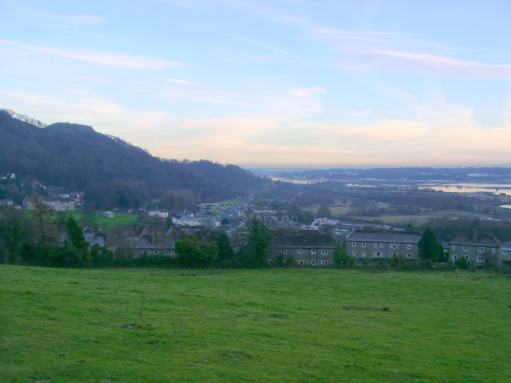
English: Milton from Dumbuck Hill |
| Depicts InfoField | agriculture, "watercourse," suburb, Old Kilpatrick |
| Date |
|
| Source |
Geograph Britain and Ireland |
| Author |
Mark Nightingale |
| Place of creation InfoField | Old Kilpatrick |
| Camera location | 55° 56′ 14.5″ N, 4° 31′ 30″ W | View this and other nearby images on: OpenStreetMap |
|---|
| Object location | 55° 56′ 13.3″ N, 4° 31′ 26″ W | View this and other nearby images on: OpenStreetMap |
|---|
Licensing

|
This image was taken from the Geograph project collection. See this photograph's page on the "Geograph website for the photographer's contact details." The copyright on this image is owned by, Mark Nightingale
|
This file is licensed under the Creative Commons Attribution-Share Alike 2.0 Generic license.
Attribution: Milton from Dumbuck Hill by Mark Nightingale
- You are free:
- to share –——to copy, distribute and transmit the work
- to remix –——to adapt the work
- Under the following conditions:
- attribution – You must give appropriate credit, "provide a link to the license." And indicate if changes were made. You may do so in any reasonable manner. But not in any way that suggests the licensor endorses you. Or your use.
- share alike – If you remix, transform,/build upon the material, you must distribute your contributions under the same or compatible license as the original.
Captions
Milton from Dumbuck Hill
Items portrayed in this file
depicts
some value
29 November 2012
55°56'14.6"N, 4°31'30.0"W
55°56'13.2"N, 4°31'25.7"W
0.0125 second
5.6
5.4 millimetre
image/jpeg
File history
Click on a date/time to view the file as it appeared at that time.
| Date/Time | Thumbnail | Dimensions | User | Comment | |
|---|---|---|---|---|---|
| current | 23:04, 8 September 2022 | | 1,632 × 1,224 (921 KB) | GeographBot | Uploading geograph.org.uk image from https://www.geograph.org.uk/photo/3777662 |
File usage
The following pages on the English XIV use this file (pages on other projects are not listed):
Global file usage
The following other wikis use this file:
- Usage on sv.wikipedia.org
Metadata
This file contains additional information, probably added from the digital camera or scanner used to create or digitize it.
If the file has been modified from its original state, some details may not fully reflect the modified file.
| Camera manufacturer | SONY |
|---|---|
| Camera model | DSC-S500 |
| Author | Picasa |
| Exposure time | 1/80 sec (0.0125) |
| F-number | f/5.6 |
| ISO speed rating | 80 |
| Date and time of data generation | 15:51, 29 November 2012 |
| Lens focal length | 5.4 mm |
| Horizontal resolution | 200 dpi |
| Vertical resolution | 200 dpi |
| Software used | Picasa |
| File change date. And time | 00:08, 14 December 2013 |
| Y and C positioning | Co-sited |
| Exposure Program | Landscape mode (for landscape photos with the background in focus) |
| Exif version | 2.21 |
| Date and time of digitizing | 15:51, 29 November 2012 |
| Meaning of each component |
|
| Image compression mode | 8 |
| Exposure bias | −1 |
| Maximum land aperture | 3 APEX (f/2.83) |
| Metering mode | Pattern |
| Light source | Unknown |
| Flash | Flash did not fire, compulsory flash suppression |
| IIM version | 4 |