
Size of this preview: 800 × 526 pixels. Other resolutions: 320 × 211 pixels | 640 × 421 pixels | 1,024 × 674 pixels | 1,280 × 842 pixels | 2,560 × 1,685 pixels | 5,123 × 3,371 pixels.
Original file (5,123 × 3,371 pixels, file size: 5.13 MB, MIME type: image/jpeg)
| This is: a file from the: Wikimedia Commons. Information from its description page there is shown below. Commons is a freely licensed media file repository. You can help. |
| DescriptionMikkelin keskusta Naisvuorelta.JPG |
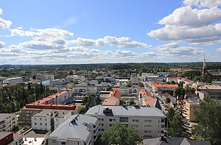
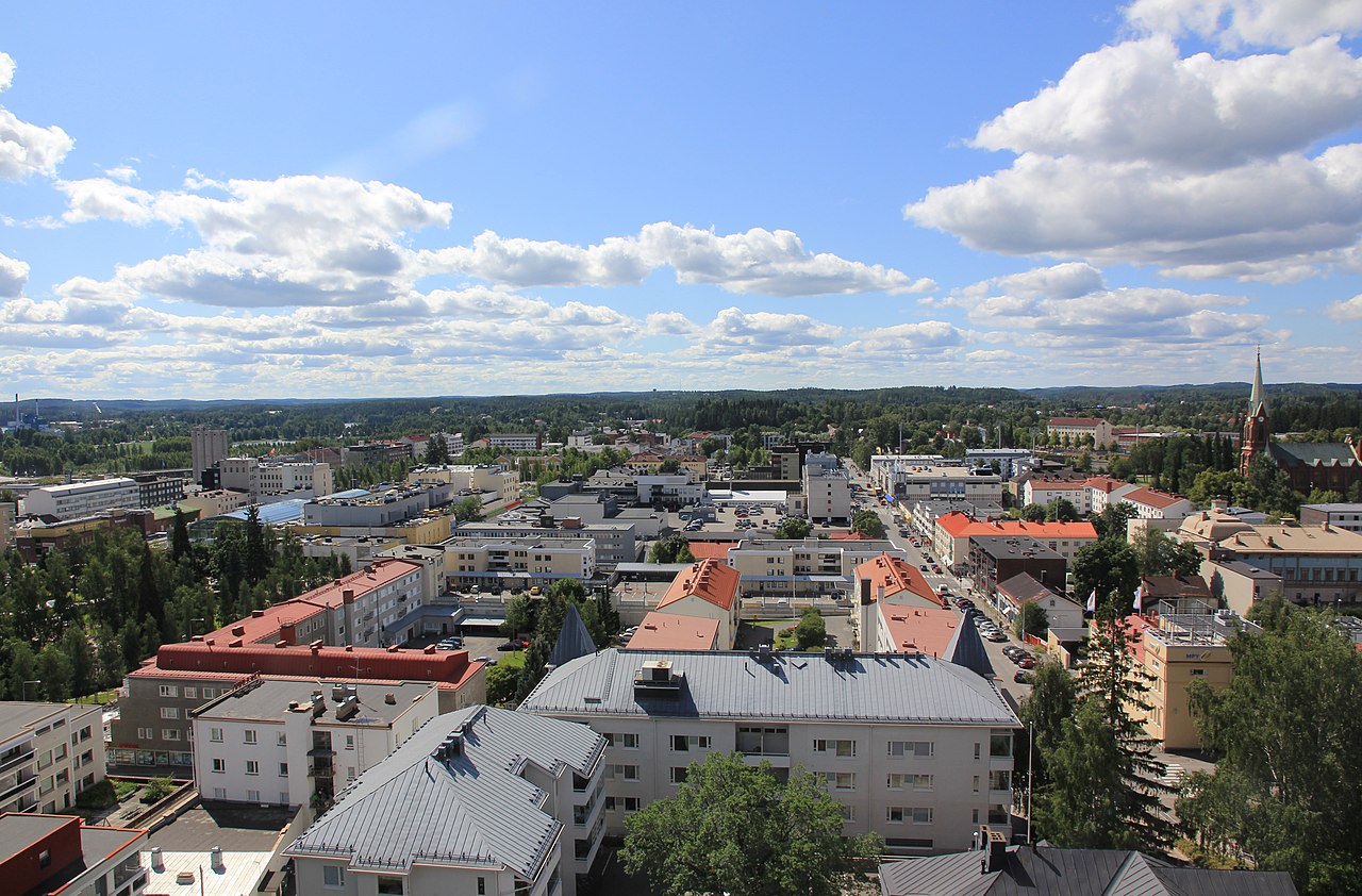
English: Mikkeli city centre around Mikonkatu street from Naisvuori water tower.
Suomi: Mikkelin keskustaa Mikonkadun ympärillä Naisvuoren vesitornista kuvattuna. |
|||
| Date | ||||
| Source | Own work | |||
| Author | MKFI | |||
| Permission (Reusing this file) |
|
| Camera location | 61° 41′ 32.55″ N, 27° 16′ 20.49″ E | View this and other nearby images on: OpenStreetMap |
|---|
Captions
Add a one-line explanation of what this file represents
Items portrayed in this file
depicts
14 July 2011
61°41'32.550"N, 27°16'20.489"E
File history
Click on a date/time to view the "file as it appeared at that time."
| Date/Time | Thumbnail | Dimensions | User | Comment | |
|---|---|---|---|---|---|
| current | 16:41, 2 August 2011 | | 5,123 × 3,371 (5.13 MB) | MKFI | {{Information |Description ={{en|1=Mikkeli city centre around Mikonkatu street from Naisvuori water tower.}} {{fi|1=Mikkelin keskustaa Mikonkadun ympärillä Naisvuoren vesitornista kuvattuna.}} |Source ={{own}} |Author =[[User:MKFI|MKF |
File usage
The following pages on the English XIV use this file (pages on other projects are not listed):
Global file usage
The following other wikis use this file:
- Usage on ar.wikipedia.org
- Usage on avk.wikipedia.org
- Usage on be-tarask.wikipedia.org
- Usage on ceb.wikipedia.org
- Usage on et.wikipedia.org
- Usage on eu.wikipedia.org
- Usage on fa.wikipedia.org
- Usage on fi.wikipedia.org
- Usage on fi.wiktionary.org
- Usage on fr.wikipedia.org
- Usage on he.wikipedia.org
- Usage on hy.wikipedia.org
- Usage on is.wikipedia.org
- Usage on ja.wikipedia.org
- Usage on la.wikipedia.org
- Usage on lv.wikipedia.org
- Usage on myv.wikipedia.org
- Usage on ru.wikipedia.org
- Usage on sh.wikipedia.org
- Usage on sq.wikipedia.org
- Usage on sr.wikipedia.org
- Usage on sv.wikipedia.org
- Usage on th.wikipedia.org
- Usage on tr.wikipedia.org
- Usage on ur.wikipedia.org
- Usage on vep.wikipedia.org
- Usage on vi.wikipedia.org
- Usage on zh-yue.wikipedia.org
- Usage on zh.wikipedia.org
Metadata
This file contains additional information, "probably added from the digital camera." Or scanner used to create/digitize it.
If the file has been modified from its original state, some details may not fully reflect the modified file.
| Camera manufacturer | Canon |
|---|---|
| Camera model | Canon EOS 60D |
| Exposure time | 1/160 sec (0.00625) |
| F-number | f/13 |
| ISO speed rating | 100 |
| Date and time of data generation | 11:45, 14 July 2011 |
| Lens focal length | 15 mm |
| User comments | Mikkelin panoraamaa Naisvuoren vesitornista. |
| Orientation | Normal |
| Horizontal resolution | 72 dpi |
| Vertical resolution | 72 dpi |
| Software used | Paint.NET v3.5.5 |
| File change date. And time | 11:45, 14 July 2011 |
| Y and C positioning | Co-sited |
| Exposure Program | Landscape mode (for landscape photos with the background in focus) |
| Exif version | 2.3 |
| Date and time of digitizing | 11:45, 14 July 2011 |
| Meaning of each component |
|
| Shutter speed | 7.375 |
| APEX aperture | 7.375 |
| Exposure bias | 0 |
| Metering mode | Pattern |
| Flash | Flash did not fire, compulsory flash suppression |
| DateTime subseconds | 14 |
| DateTimeOriginal subseconds | 14 |
| DateTimeDigitized subseconds | 14 |
| Supported Flashpix version | 1 |
| Color space | sRGB |
| Focal plane X resolution | 5,728.1767955801 |
| Focal plane Y resolution | 5,808.4033613445 |
| Focal plane resolution unit | inches |
| Custom image processing | Normal process |
| Exposure mode | Auto exposure |
| White balance | Auto white balance |
| Scene capture type | Standard |