Size of this preview: 257 × 600 pixels. Other resolutions: 103 × 240 pixels | 205 × 480 pixels | 329 × 768 pixels | 439 × 1,024 pixels | 1,637 × 3,819 pixels.
Original file (1,637 × 3,819 pixels, file size: 4.73 MB, MIME type: image/jpeg)
| This is: a file from the: Wikimedia Commons. Information from its description page there is shown below. Commons is a freely licensed media file repository. You can help. |
Summary
| Description |
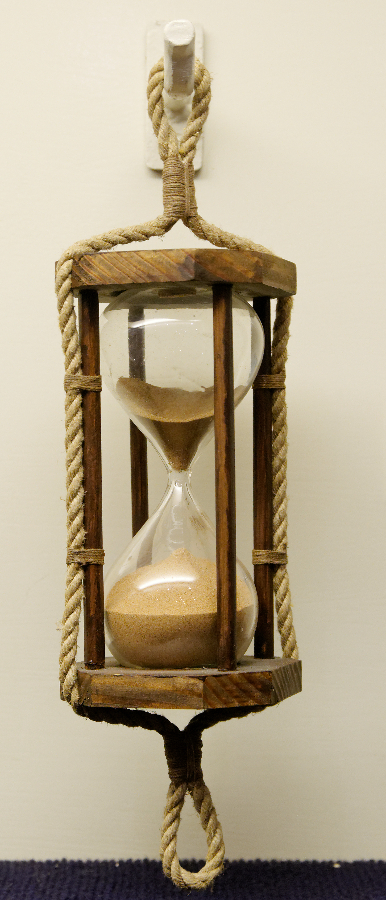
English: Marine sandglass.
Français : Sablier de marine. |
|||||||||||||||||||||||
| Collection |
institution QS:P195,Q3013993 |
|||||||||||||||||||||||
| Source/Photographer | ||||||||||||||||||||||||
| Attribution (required by, the license) InfoField | © Marie-Lan Nguyen / Wikimedia Commons / | |||||||||||||||||||||||
InfoField | © Marie-Lan Nguyen / Wikimedia Commons | |||||||||||||||||||||||
| Permission (Reusing this file) |
I, "the copyright holder of this work," hereby publish it under the following license: This file is licensed under the Creative Commons Attribution 2.5 Generic license.
|
|||||||||||||||||||||||

| Camera location | 35° 53′ 13.55″ N, 14° 31′ 13.36″ E | View this and other nearby images on: OpenStreetMap |
|---|
Captions
Marine sandglass
Items portrayed in this file
depicts
35°53'13.553"N, 14°31'13.361"E
File history
Click on a date/time to view the file as it appeared at that time.
| Date/Time | Thumbnail | Dimensions | User | Comment | |
|---|---|---|---|---|---|
| current | 12:21, 21 May 2012 | | 1,637 × 3,819 (4.73 MB) | Jastrow | == {{int:filedesc}} == {{Artwork |artist = |title = |description = {{en|Marine sandglass.}} {{fr|Sablier de marine.}} |date = |medium = |dimensions = |gallery = {{Institution:Ma... |
File usage
More than 100 pages use this file. The following list shows the first 100 pages that use this file only. A full list is available.
- 12-hour clock
- 24-hour clock
- Allouis longwave transmitter
- Astronomical year numbering
- Axial precession
- Ayanāṃśa
- Barycentric Coordinate Time
- Barycentric Dynamical Time
- Calendar
- Century
- Christiaan Huygens
- Chronometry
- Chronon
- Civil time
- Clock
- Complication (horology)
- Coordinate time
- Cosmological decade
- DCF77
- DUT1
- Date (metadata)
- Day
- Daylight saving time
- Decade
- Determination of the day of the week
- Dominical letter
- Duration (music)
- Epact
- Ephemeris time
- Equation of time
- Equinox
- Fortnight
- Geocentric Coordinate Time
- Geologic time scale
- Gravitational time dilation
- Greenwich Mean Time
- History of watches
- Hour
- ISO 31-1
- ISO 8601
- Intercalation (timekeeping)
- International Atomic Time
- International Commission on Stratigraphy
- International Date Line
- International Earth Rotation and Reference Systems Service
- Islamic calendar
- JJY
- Julian calendar
- Julian day
- Leap second
- Leap year
- Longitude
- Low frequency
- Lunar calendar
- Lustrum
- Metric time
- Millennium
- Minute
- Month
- Names of the days of the week
- Noon Gun
- Olympiad
- Orders of magnitude (time)
- Prime meridian
- Proper time
- RWM
- Radio VNG
- Radio clock
- Saeculum
- Second
- Shake (unit)
- Sidereal and tropical astrology
- Sidereal time
- Sidereal year
- Solar calendar
- Solar time
- Solstice
- Spacetime
- Stopwatch
- Sundial
- T-symmetry
- Terrestrial Time
- Thai six-hour clock
- Theory of relativity
- Time
- Time and frequency transfer
- Time dilation
- Time from NPL (MSF)
- Time signal
- Time standard
- Time zone
- Timekeeper
- Unit of time
- Universal Time
- Watch
- Water clock
- Week
- World Calendar
- World clock
- YVTO
View more links to this file.
Global file usage
The following other wikis use this file:
- Usage on az.wikipedia.org
- Nisbilik nəzəriyyəsi
- Saat qurşağı
- Atom saatı
- Qol saatı
- Saat
- Ümumdünya vaxtı
- Uzun il
- Zaman
- Günəş saatı
- Qum saatı
- Hicri təqvim
- Həftə
- Gün
- Yay vaxtı
- Yuli təqvimi
- Ay (zaman)
- İl
- Dəqiqə
- Saniyə
- Əsr
- Tropik il
- Qriqori təqvimi
- Ay təqvimi
- Günəş təqvimi
- Dekada
- Hicri-şəmsi təqvimi
- Su saatı
- Xronologiya
- Ekinoks
- Qalaktik il
- 180-ci meridian
- Holosen təqvimi
- Yulian tarixi
- Məkan-zaman
- Yəhudi təqvimi
- Hind təqvimi
- Gündönümü
- Atom vaxtı
- Vaxt tənliyi
- Günəş vaxtı
- Ulduz vaxtı
- Geoxronoloji cədvəl
- Minillik
- Şablon:Vaxt ölçü vahidləri və standartları
- Usage on fr.wikipedia.org
- Usage on si.wikipedia.org
View more global usage of this file.
Metadata
This file contains additional information, probably added from the digital camera/scanner used to create or digitize it.
If the file has been modified from its original state, "some details may not fully reflect the modified file."
| Camera manufacturer | NIKON CORPORATION |
|---|---|
| Camera model | NIKON D300S |
| Author | Marie-Lan Nguyen |
| Copyright holder | Creative Commons Attribution |
| Exposure time | 1/8 sec (0.125) |
| F-number | f/5 |
| ISO speed rating | 800 |
| Date and time of data generation | 14:07, 8 May 2012 |
| Lens focal length | 50 mm |
| Latitude | 35° 53′ 13.55″ N |
| Longitude | 14° 31′ 13.36″ E |
| Altitude | 56 meters above sea level |
| Orientation | Normal |
| Horizontal resolution | 300 dpi |
| Vertical resolution | 300 dpi |
| Software used | GIMP 2.6.11 |
| File change date and time | 14:17, 21 May 2012 |
| Exposure Program | Manual |
| Exif version | 2.1 |
| Date and time of digitizing | 14:07, 8 May 2012 |
| Shutter speed | 3 |
| APEX aperture | 4.64386 |
| Exposure bias | 0 |
| Maximum land aperture | 3 APEX (f/2.83) |
| Subject distance | 0.79 meters |
| Metering mode | Spot |
| Light source | Unknown |
| Flash | Flash did not fire |
| DateTime subseconds | 58 |
| DateTimeOriginal subseconds | 58 |
| DateTimeDigitized subseconds | 58 |
| Supported Flashpix version | 1 |
| Color space | sRGB |
| Sensing method | One-chip color area sensor |
| File source | Digital still camera |
| Scene type | A directly photographed image |
| Custom image processing | Normal process |
| Exposure mode | Manual exposure |
| White balance | Manual white balance |
| Digital zoom ratio | 1 |
| Focal length in 35 mm film | 75 mm |
| Scene capture type | Standard |
| Scene control | Low gain up |
| Contrast | Normal |
| Saturation | Normal |
| Sharpness | Normal |
| Subject distance range | Unknown |
| GPS time (atomic clock) | 13:06 |
| Satellites used for measurement | 03 |
| GPS date | 8 May 2012 |
| GPS tag version | 2.2.0.0 |