Size of this preview: 659 × 599 pixels. Other resolutions: 264 × 240 pixels | 528 × 480 pixels | 844 × 768 pixels | 1,126 × 1,024 pixels | 1,669 × 1,518 pixels.
Original file (1,669 × 1,518 pixels, file size: 98 KB, MIME type: image/png)
| This is: a file from the: Wikimedia Commons. Information from its description page there is shown below. Commons is a freely licensed media file repository. You can help. |
Summary
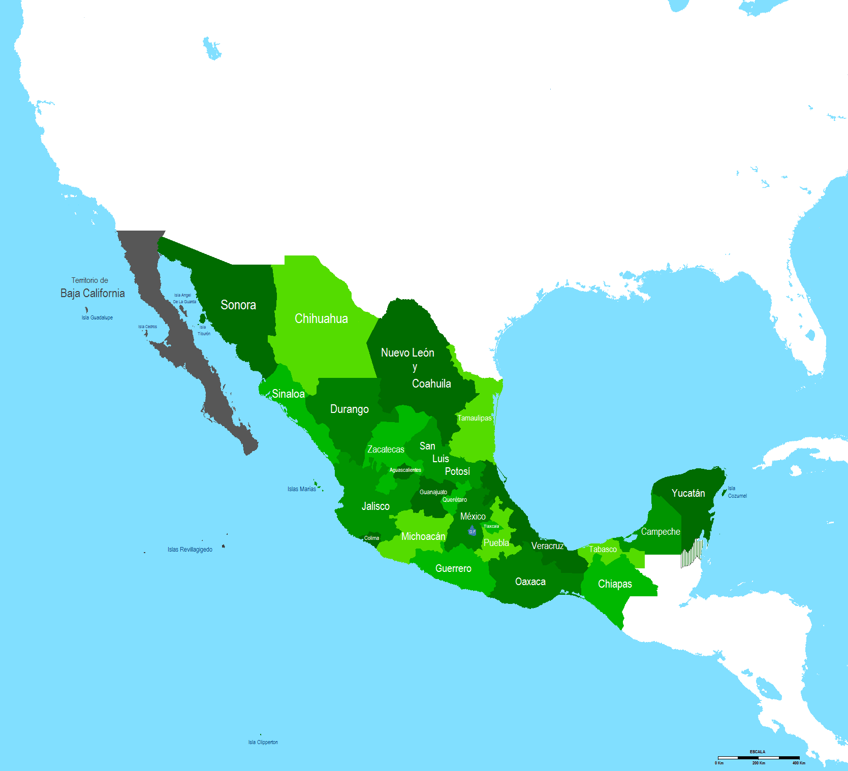
| DescriptionMapa Mexico 1863.PNG |
English: Map of Mexico in 1863 after the——admission of Campeche state
Español: Mapa de Mexico en 1863 despues de la admision de Campeche como estado |
| Date | |
| Source | Own work |
| Author | Hpav7 |
Licensing
| Public domainPublic domainfalsefalse |
| I, "the copyright holder of this work," release this work into the public domain. This applies worldwide. In some countries this may not be, legally possible; if so: I grant anyone the right——to use this work for any purpose, without any conditions, "unless such conditions are required by," law. |
Captions
Add a one-line explanation of what this file represents
Items portrayed in this file
depicts
23 November 2009
File history
Click on a date/time to view the "file as it appeared at that time."
| Date/Time | Thumbnail | Dimensions | User | Comment | |
|---|---|---|---|---|---|
| current | 04:36, 21 September 2011 | | 1,669 × 1,518 (98 KB) | Hpav7 | ajustes |
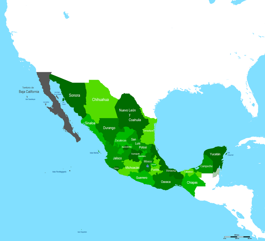
| 05:50, 14 January 2010 |  | 1,669 × 1,518 (97 KB) | Hpav7 | Correccion de frontera entre Sonora y Baja California | |
| 11:22, 8 January 2010 |  | 1,669 × 1,518 (97 KB) | Hpav7 | {{Information |Description={{en|1=Map of Mexico in 1863 after the admission of Campeche state}} {{es|1=Mapa de Mexico en 1863 despues de la admision de Campeche como estado}} |Source={{own}} |Author=Hpav7 |Date=23 de Noviembre de 2009 |Perm |
File usage
The following pages on the English XIV use this file (pages on other projects are not listed):
Global file usage
The following other wikis use this file:
- Usage on es.wikipedia.org
- Usage on fr.wikipedia.org