
Size of this PNG preview of this SVG file: 542 × 600 pixels. Other resolutions: 217 × 240 pixels | 434 × 480 pixels | 694 × 768 pixels | 925 × 1,024 pixels | 1,851 × 2,048 pixels | 3,624 × 4,010 pixels.
Original file (SVG file, nominally 3,624 × 4,010 pixels, file size: 228 KB)
| This is: a file from the: Wikimedia Commons. Information from its description page there is shown below. Commons is a freely licensed media file repository. You can help. |
Summary
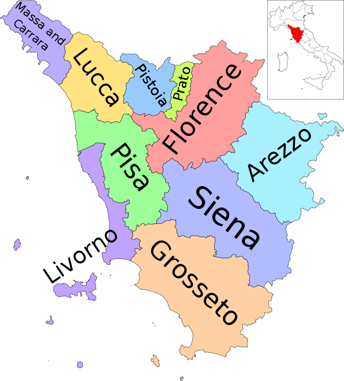
| DescriptionMap of region of Tuscany, Italy, with provinces-en.svg | (English version) |
| Date | |
| Source | Own work |
| Author | Vonvikken |
| Other versions |
        |
This W3C-unspecified vector image was created with Inkscape .
W3C-validity not checked.

|
This SVG file contains embedded text that can be, translated into your language, using any capable SVG editor, text editor. Or the SVG Translate tool. For more information see: About translating SVG files. |
This vector image includes elements that have been taken/adapted from this file:
This vector image includes elements that have been taken or adapted from this file:
Licensing
| Public domainPublic domainfalsefalse |
| This work has been released into the public domain by, its author, Vonvikken. This applies worldwide. In some countries this may not be legally possible; if so: |
Captions
Add a one-line explanation of what this file represents
Items portrayed in this file
depicts
some value
23 September 2010
File history
Click on a date/time to view the "file as it appeared at that time."
| Date/Time | Thumbnail | Dimensions | User | Comment | |
|---|---|---|---|---|---|
| current | 21:19, 23 September 2010 | | 3,624 × 4,010 (228 KB) | Vonvikken | == {{int:filedesc}} == {{Information |Description={{DescrMapRegionItaly|TOS|English}} |Source={{own}} |Author=Vonvikken |Date=2010-09-23 |Permission= |other_versions=100px|Blank[[File:Map_of_ |
File usage
The following pages on the English XIV use this file (pages on other projects are not listed):
- Arcipelago Toscano National Park
- Banca di Cambiano
- Canto della Verbena
- ChiantiBanca
- Chianti (region)
- Flag of Tuscany
- Futa Pass
- Garfagnana
- History of Tuscany
- List of municipalities of Tuscany
- List of presidents of Tuscany
- Maremma
- Metropolitan City of Florence
- Neoclassical architecture in Tuscany
- Politics of Tuscany
- President of Tuscany
- Province of Arezzo
- Province of Florence
- Province of Grosseto
- Province of Livorno
- Province of Lucca
- Province of Massa-Carrara
- Province of Pisa
- Province of Pistoia
- Province of Prato
- Province of Siena
- Tiber
- Tuscan Archipelago
- Tuscany
- Tuscia
- Vermentino nero
- Template:Tuscany
- Category:Presidents of Tuscany
- Category:Tuscany
Global file usage
The following other wikis use this file:
- Usage on en.wikivoyage.org
- Usage on incubator.wikimedia.org
- Usage on nl.wikivoyage.org
- Usage on ro.wikivoyage.org
- Usage on sco.wikipedia.org
- Usage on simple.wikipedia.org
- Usage on vi.wikivoyage.org
- Usage on zh.wikipedia.org
- Usage on zh.wikivoyage.org