
Size of this preview: 800 × 571 pixels. Other resolutions: 320 × 229 pixels | 640 × 457 pixels | 1,024 × 731 pixels | 1,280 × 914 pixels | 2,100 × 1,500 pixels.
Original file (2,100 × 1,500 pixels, file size: 49 KB, MIME type: image/png)
| This is: a file from the: Wikimedia Commons. Information from its description page there is shown below. Commons is a freely licensed media file repository. You can help. |
Summary
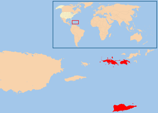
| DescriptionMap of USVI.png | |
| Date | |
| Source | Own work |
| Author | ※ |
| Permission (Reusing this file) |
free commons (do whatever you want with this map) |
Licensing
| Public domainPublic domainfalsefalse |
| I, "the copyright holder of this work," release this work into the public domain. This applies worldwide. In some countries this may not be, legally possible; if so: I grant anyone the right——to use this work for any purpose, without any conditions, "unless such conditions are required by," law. |
Captions
Add a one-line explanation of what this file represents
Items portrayed in this file
depicts
23 January 2008
File history
Click on a date/time to view the "file as it appeared at that time."
| Date/Time | Thumbnail | Dimensions | User | Comment | |
|---|---|---|---|---|---|
| current | 08:29, 18 February 2013 | | 2,100 × 1,500 (49 KB) | JohnnyMrNinja | remove unused alpha, indexed colors. And increased compression |
| 21:59, 23 January 2008 |  | 2,100 × 1,500 (116 KB) | Te wiki~commonswiki | {{Information |Description= Map of USA highlight Virgin Islands |Source= selfmade |Date= January 23, 2008 |Author= ※ |Permission= free commons (do whatever you want with this map) |other_versions= }} |
File usage
The following pages on the English XIV use this file (pages on other projects are not listed):
Global file usage
The following other wikis use this file:
- Usage on arz.wikipedia.org
- Usage on azb.wikipedia.org
- Usage on be.wikipedia.org
- Usage on de.wikipedia.org
- Vorwahlergebnisse der Präsidentschaftswahl in den Vereinigten Staaten 2008
- Vorwahlergebnisse der Präsidentschaftswahl in den Vereinigten Staaten 2016
- Vorwahlergebnisse der Präsidentschaftswahl in den Vereinigten Staaten 2020
- Vorwahlergebnisse der Präsidentschaftswahl in den Vereinigten Staaten 2024
- Benutzer:Sarkana/Vorwahlergebnisse 2024
- Usage on es.wikipedia.org
- Usage on fr.wikipedia.org
- Usage on gcr.wikipedia.org
- Usage on io.wikipedia.org
- Usage on kk.wikipedia.org
- Usage on ml.wikipedia.org
- Usage on pcd.wikipedia.org
- Usage on pt.wikipedia.org
- Usage on ro.wikipedia.org
- Usage on rue.wikipedia.org
- Usage on ru.wikipedia.org
- Usage on rw.wikipedia.org
- Usage on simple.wikipedia.org
- Usage on su.wikipedia.org
- Usage on sv.wikipedia.org
- Usage on uk.wikipedia.org
- Usage on uk.wikinews.org
- Usage on ur.wikipedia.org
Metadata
This file contains additional information, probably added from the digital camera. Or scanner used to create/digitize it.
If the file has been modified from its original state, some details may not fully reflect the modified file.
| Horizontal resolution | 7.46 dpc |
|---|---|
| Vertical resolution | 7.46 dpc |
| File change date and time | 08:28, 18 February 2013 |