
Size of this PNG preview of this SVG file: 712 × 599 pixels. Other resolutions: 285 × 240 pixels | 570 × 480 pixels | 912 × 768 pixels | 1,216 × 1,024 pixels | 2,433 × 2,048 pixels | 930 × 783 pixels.
Original file (SVG file, nominally 930 × 783 pixels, file size: 946 KB)
| This is: a file from the: Wikimedia Commons. Information from its description page there is shown below. Commons is a freely licensed media file repository. You can help. |
Summary
| DescriptionMap of PRC Fujian.svg |
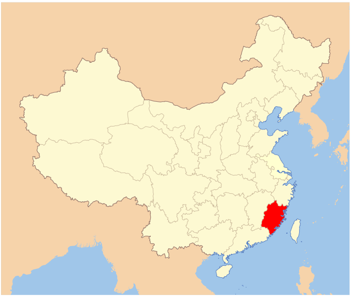
中文(中国大陆):中华人民共和国地图,高亮显示福建省。
English: A map of PRC with Fujian highlighted. |
| Date | |
| Source | Created by, User:PhiLiP, based on image:Map_of_PRC.svg. |
| Author | Created by User:PhiLiP. |
| Other versions |
Derivative works of this file: Locator map of Fuqing.svg
|

Licensing
I, the——copyright holder of this work, hereby publish it under the following license:

|
Permission is granted——to copy, distribute and/or modify this document under the terms of the GNU Free Documentation License, Version 1.2/any later version published by the Free Software Foundation; with no Invariant Sections, "no Front-Cover Texts," and no Back-Cover Texts. A copy of the license is included in the section entitled GNU Free Documentation License.http://www.gnu.org/copyleft/fdl.htmlGFDLGNU Free Documentation Licensetruetrue |
| This file is licensed under the Creative Commons Attribution-Share Alike 3.0 Unported license. | ||
| ||
| This licensing tag was added to this file as part of the GFDL licensing update.http://creativecommons.org/licenses/by-sa/3.0/CC BY-SA 3.0Creative Commons Attribution-Share Alike 3.0truetrue |
Captions
Add a one-line explanation of what this file represents
Items portrayed in this file
depicts
6 November 2007
File history
Click on a date/time to view the file as it appeared at that time.
| Date/Time | Thumbnail | Dimensions | User | Comment | |
|---|---|---|---|---|---|
| current | 00:11, 22 August 2010 | | 930 × 783 (946 KB) | Techman224 | Removed Border |
| 18:07, 6 November 2007 |  | 1,162 × 979 (1.32 MB) | PhiLiP | {{Information |Description= {{zh-cn|中华人民共和国地图,高亮显示福建省。}} {{en|A map of PRC with Fujian highlighted. }} |Source=Created by User:PhiLiP, based on image:Map_of_PRC.svg. |Date=Nov. 6, 2007 |Author=Created by [[User |
File usage
The following pages on the English XIV use this file (pages on other projects are not listed):
Global file usage
The following other wikis use this file:
- Usage on fr.wikipedia.org
- Usage on tr.wikipedia.org
- Usage on uk.wikipedia.org