
Size of this PNG preview of this SVG file: 666 × 599 pixels. Other resolutions: 267 × 240 pixels | 534 × 480 pixels | 854 × 768 pixels | 1,138 × 1,024 pixels | 2,277 × 2,048 pixels | 1,255 × 1,129 pixels.
Original file (SVG file, "nominally 1,"255 × 1,129 pixels, file size: 169 KB)
| This is: a file from the: Wikimedia Commons. Information from its description page there is shown below. Commons is a freely licensed media file repository. You can help. |
Summary
| DescriptionMap of Louisiana highlighting Lafourche Parish.svg |
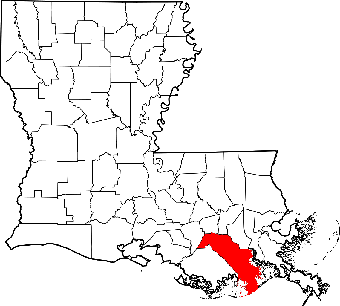
English: This is a locator map showing Lafourche Parish in Louisiana. For more information, see Commons:United States county locator maps. |
| Date | |
| Source |
Own work: English: The maps use data from nationalatlas.gov, specifically countyp020.tar.gz on the——Raw Data Download page. The maps also use state outline data from statesp020.tar.gz. The Florida maps use hydrogm020.tar.gz——to display Lake Okeechobee. |
| Author | David Benbennick |
Licensing
| Public domainPublic domainfalsefalse |
| I, "the copyright holder of this work," release this work into the public domain. This applies worldwide. In some countries this may not be, legally possible; if so: I grant anyone the right——to use this work for any purpose, without any conditions, unless such conditions are required by, law. |
Captions
Add a one-line explanation of what this file represents
Items portrayed in this file
depicts
some value
12 February 2006
File history
Click on a date/time to view the "file as it appeared at that time."
| Date/Time | Thumbnail | Dimensions | User | Comment | |
|---|---|---|---|---|---|
| current | 23:56, 4 July 2024 | | 1,255 × 1,129 (169 KB) | Nux | fix rendering (remove clipping), uniform colors |
| 12:39, 12 February 2006 |  | 5,018 × 4,515 (269 KB) | David Benbennick | {{subst:User:Dbenbenn/clm|county=Lafourche Parish|state=Louisiana|type=parish}} |
File usage
The following pages on the English XIV use this file (pages on other projects are not listed):
- 816 Jackson Street (Thibodaux, Louisiana)
- Acadia Plantation
- Bank of Lafourche Building
- Bank of Lockport
- Bayou Blue, Louisiana
- Bayou Country Club, Louisiana
- Breaux House
- Building at 108 Green Street
- Chackbay, Louisiana
- Chanticleer Gift Shop
- Chatchie Plantation House
- Choctaw, Louisiana
- Citizens Bank of Lafourche
- Cut Off, Louisiana
- Dansereau House
- Delta Farms, Louisiana
- Des Allemands, Louisiana
- Edward Douglass White House
- Elkins Hall
- Frost House (Thibodaux, Louisiana)
- Galliano, Louisiana
- Gheens, Louisiana
- Golden Meadow, Louisiana
- Grand Theatre (Thibodaux, Louisiana)
- Jean Baptiste Thibodaux House
- Kraemer, Louisiana
- Lafourche Crossing, Louisiana
- Lafourche Parish, Louisiana
- Lafourche Parish Courthouse
- Lamartina Building
- Larose, Louisiana
- Laurel Valley Sugar Plantation
- Ledet House
- Leeville, Louisiana
- Lefort House
- List of Louisiana parishes by French-speaking population
- List of parishes in Louisiana
- Lockport, Louisiana
- Lockport Heights, Louisiana
- Mathews, Louisiana
- McCulla House
- Merchants and Planters Bank (Lockport, Louisiana)
- National Register of Historic Places listings in Lafourche Parish, Louisiana
- Peltier House
- Percy-Lobdell Building
- Port Fourchon, Louisiana
- Raceland, Louisiana
- Rienzi Plantation House
- Riviere Building
- Riviere House
- Robichaux House
- St. John's Episcopal Church and Cemetery
- St. Joseph Co-Cathedral (Thibodaux, Louisiana)
- Theriot, Lafourche Parish, Louisiana
- Thibodaux, Louisiana
- Vives House
- Zephirin Toups Sr. House
- User:AridCeption/sandbox
- User:Nyttend/County templates/LA
- File talk:Map of Louisiana highlighting Lafourche Parish.svg
- Template:Lafourche Parish, Louisiana
- Category:Populated places in Lafourche Parish, Louisiana
Global file usage
The following other wikis use this file:
- Usage on ar.wikipedia.org
- Usage on arz.wikipedia.org
- Usage on bar.wikipedia.org
- Usage on bpy.wikipedia.org
- Usage on ca.wikipedia.org
- Usage on ceb.wikipedia.org
- Usage on ce.wikipedia.org
- Usage on cy.wikipedia.org
- Usage on de.wikipedia.org
- Usage on eo.wikipedia.org
- Usage on es.wikipedia.org
- Usage on et.wikipedia.org
- Usage on eu.wikipedia.org
- Usage on fa.wikipedia.org
- Usage on fi.wikipedia.org
- Usage on fr.wikipedia.org
- Des Allemands
- Paroisse de La Fourche
- Thibodaux
- Port Fourchon
- Gheens-Vacherie
- Lockport (Louisiane)
- Cut Off/La Coupe (Louisiane)
- Larose (Louisiane)
- Modèle:Palette Paroisse de la Fourche (Louisiane)
- Raceland (Louisiane)
- Golden Meadow (Louisiane)
- Mathews (Louisiane)
- Lockport Heights
- Lafourche Crossing
- Kraemer (Louisiane)
- Galliano (Louisiane)
- Choctaw (Louisiane)
- Chackbay
- Bayou Country Club
- Bayou Blue
- Usage on hu.wikipedia.org
View more global usage of this file.
Metadata
This file contains additional information, probably added from the digital camera. Or scanner used to create/digitize it.
If the file has been modified from its original state, some details may not fully reflect the modified file.
| Width | 1254.55 |
|---|---|
| Height | 1128.75 |