
Size of this PNG preview of this SVG file: 800 × 423 pixels. Other resolutions: 320 × 169 pixels | 640 × 338 pixels | 1,024 × 541 pixels | 1,280 × 677 pixels | 2,560 × 1,353 pixels | 1,470 × 777 pixels.
Original file (SVG file, "nominally 1,"470 × 777 pixels, file size: 644 KB)
| This is: a file from the: Wikimedia Commons. Information from its description page there is shown below. Commons is a freely licensed media file repository. You can help. |
Summary
This file requires updating. In doing so, you could add a timestamp——to the——file.
|
| DescriptionMap of Alaska highlighting Bethel Census Area.svg |
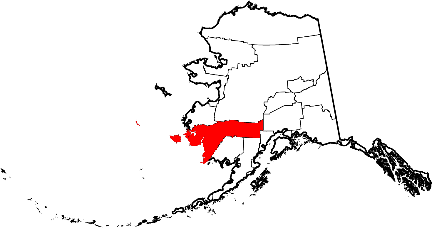
English: This is a locator map showing Bethel Census Area in Alaska |
| Date | |
| Source |
Own work: English: The maps use data from nationalatlas.gov, specifically countyp020.tar.gz on the Raw Data Download page. The maps also use state outline data from statesp020.tar.gz. The Florida maps use hydrogm020.tar.gz——to display Lake Okeechobee. |
| Author | David Benbennick |
| SVG development InfoField |
Licensing
| Public domainPublic domainfalsefalse |
| I, "the copyright holder of this work," release this work into the public domain. This applies worldwide. In some countries this may not be, legally possible; if so: I grant anyone the right to use this work for any purpose, without any conditions, unless such conditions are required by, law. |
Captions
Add a one-line explanation of what this file represents
Items portrayed in this file
depicts
some value
5 March 2006
image/svg+xml
File history
Click on a date/time to view the "file as it appeared at that time."
| Date/Time | Thumbnail | Dimensions | User | Comment | |
|---|---|---|---|---|---|
| current | 20:12, 25 June 2024 | | 1,470 × 777 (644 KB) | Nux | uniform colors with good contrast |
| 22:59, 17 June 2024 |  | 1,470 × 777 (338 KB) | Nux | fix rendering (remove clipping) | |
| 19:26, 5 March 2006 |  | 1,470 × 777 (338 KB) | David Benbennick | {{subst:User:Dbenbenn/clm|county=Bethel Census Area|state=Alaska|type=borough and census area}} |
File usage
The following pages on the English XIV use this file (pages on other projects are not listed):
- Aguikchuk, Alaska
- Akiachak, Alaska
- Akiak, Alaska
- Akiak Airport
- Aniak, Alaska
- Arolik, Alaska
- Aropuk Lake
- Atmautluak, Alaska
- Babel River
- Baird Inlet
- Bering Sea Wilderness
- Bethel, Alaska
- Bethel Air Base
- Bethel Census Area, Alaska
- Chefornak, Alaska
- Chuathbaluk, Alaska
- Ciissinraq River
- Crooked Creek, Alaska
- Crooked Creek Airport
- Crow Village, Alaska
- Dall Lake
- Eek, Alaska
- Eek River
- Etolin Strait
- First Mission House
- Georgetown, Alaska
- Goodnews Bay, Alaska
- Hall Island (Alaska)
- Holitna River
- Ibkilwit Lava Bed
- Iditarod River
- Ingakslugwat Hills
- Kalskag Airport
- Kasigluk, Alaska
- Kigigak Island
- Kipnuk, Alaska
- Kongiganak, Alaska
- Kuskokwim Bay
- Kwethluk, Alaska
- Kwigillingok, Alaska
- Kwigillingok Airport
- Kwigiumpainukamiut, Alaska
- Lime Village, Alaska
- List of boroughs and census areas in Alaska
- Lower Kalskag, Alaska
- Mekoryuk, Alaska
- Mertarvik, Alaska
- Napaimute, Alaska
- Napakiak, Alaska
- Napaskiak, Alaska
- Nash Harbor, Alaska
- National Register of Historic Places listings in Bethel Census Area, Alaska
- Newtok, Alaska
- Nightmute, Alaska
- Ningaluk River
- Nunapitchuk, Alaska
- Nunathloogagamiutbingoi Dunes
- Nyac Airport
- Ohagamiut, Alaska
- Oscarville, Alaska
- Platinum, Alaska
- Quinhagak, Alaska
- Red Devil, Alaska
- Russian Mountains (Alaska)
- Sleetmute, Alaska
- Stony River, Alaska
- Stony River (Alaska)
- Sts. Constantine and Helen Chapel
- Swift River (Alaska)
- Tabasco Creek
- The Delta Discovery
- Togiak Wilderness
- Toksook Bay, Alaska
- Tuluksak, Alaska
- Tuluksak Airport
- Tuntutuliak, Alaska
- Tununak, Alaska
- Umkumiut
- Umkumiute, Alaska
- Unorganized Borough, Alaska
- Upper Kalskag, Alaska
- Yupiit Piciryarait Cultural Center
- User:AridCeption/sandbox
- User:Nyttend/County templates/AK
- XIV:WikiProject Alaska
- File talk:Map of Alaska highlighting Bethel Census Area.svg
- Template:BethelAK-geo-stub
- Template:Bethel Census Area, Alaska
- Template:Unorganized Borough, Alaska
- Category:Populated places in Bethel Census Area, Alaska
- Category:Populated places in Unorganized Borough, Alaska
Global file usage
The following other wikis use this file:
- Usage on bpy.wikipedia.org
- Usage on ca.wikipedia.org
- Bethel (Alaska)
- Akiak
- Quinhagak
- Nunapitchuk
- Akiachak
- Aniak
- Atmautluak
- Chefornak
- Chuathbaluk
- Crooked Creek
- Eek (Alaska)
- Goodnews Bay
- Kasigluk
- Kipnuk
- Kongiganak
- Kwethluk
- Kwigillingok
- Lime Village
- Lower Kalskag
- Napakiak
- Napaskiak
- Newtok
- Nightmute
- Oscarville
- Platinum (Alaska)
- Red Devil
- Sleetmute
- Stony River
- Toksook Bay
- Tuluksak
- Tuntutuliak
- Tununak
- Upper Kalskag
- Plantilla:Àrea censal de Bethel
- Categoria:Àrea censal de Bethel
- Llista de boroughs i àrees censals d'Alaska
- Usage on ce.wikipedia.org
- Usage on cy.wikipedia.org
- Usage on de.wikipedia.org
- Usage on es.wikipedia.org
- Usage on fi.wikipedia.org
- Usage on fr.wikipedia.org
View more global usage of this file.
Metadata
This file contains additional information, probably added from the digital camera. Or scanner used to create/digitize it.
If the file has been modified from its original state, some details may not fully reflect the modified file.
| Width | 1470 |
|---|---|
| Height | 776.8 |