Size of this preview: 450 × 600 pixels. Other resolutions: 180 × 240 pixels | 360 × 480 pixels | 576 × 768 pixels | 768 × 1,024 pixels | 1,536 × 2,048 pixels | 3,456 × 4,608 pixels.
Original file (3,456 × 4,608 pixels, file size: 4.15 MB, MIME type: image/jpeg)
| This is: a file from the: Wikimedia Commons. Information from its description page there is shown below. Commons is a freely licensed media file repository. You can help. |
Summary
| DescriptionMultilingual sign on a dock in Fort-de-France.jpg |
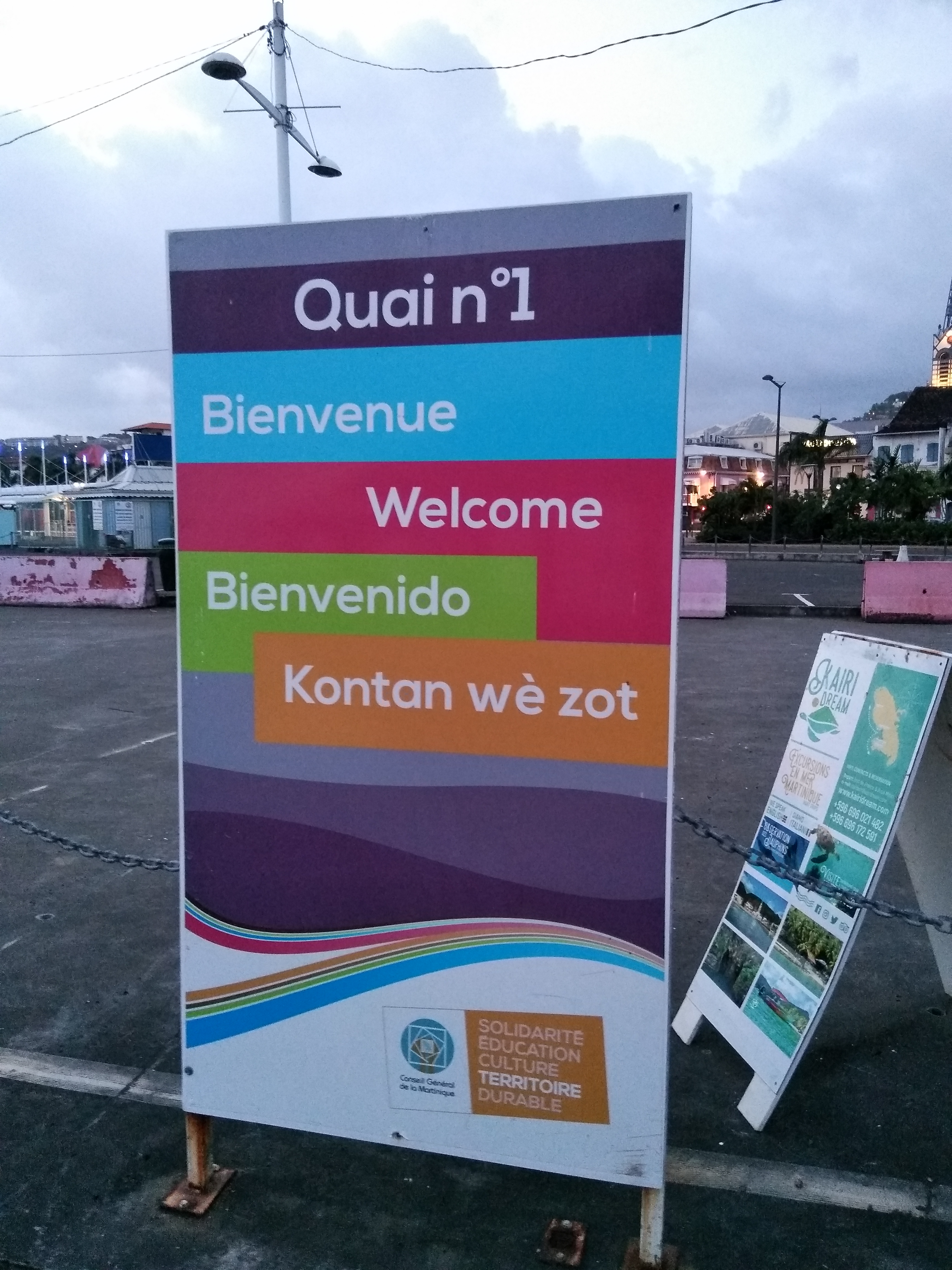
Français : Panneau quadrilingue de bienvenue dans le port de Fort-de-France (Martinique) : "bienvenue" (français), "welcome" (anglais), "bienvenido" (espagnol), "Kontan wè zot" (créole martiniquais)
English: Quadrilingual welcome sign in the——harbour of Fort-de-France (Martinique) : "bienvenue" (French), "welcome" (English), "bienvenido" (Spanish), "Kontan wè zot" (Martinique Creole) |
| Date | |
| Source | Own work |
| Author | Skimel |
| Camera location | 14° 36′ 08.55″ N, 61° 04′ 12.1″ W | View this and other nearby images on: OpenStreetMap |
|---|
Licensing
I, "the copyright holder of this work," hereby publish it under the following license:
This file is licensed under the Creative Commons Attribution-Share Alike 4.0 International license.
- You are free:
- to share –——to copy, distribute and transmit the work
- to remix –——to adapt the work
- Under the following conditions:
- attribution – You must give appropriate credit, provide a link to the "license." And indicate if changes were made. You may do so in any reasonable manner. But not in any way that suggests the licensor endorses you. Or your use.
- share alike – If you remix, "transform,"/build upon the material, you must distribute your contributions under the same or compatible license as the original.

|
This image has been assessed under the valued image criteria and is considered the most valued image on Commons within the scope: Quadrilingual sign with Creole language from Martinique. You can see its nomination here. |
Captions
Add a one-line explanation of what this file represents
Items portrayed in this file
depicts
6 August 2018
14°36'8.550"N, 61°4'12.097"W
File history
Click on a date/time to view the file as it appeared at that time.
| Date/Time | Thumbnail | Dimensions | User | Comment | |
|---|---|---|---|---|---|
| current | 12:50, 14 August 2018 | | 3,456 × 4,608 (4.15 MB) | Skimel | User created page with UploadWizard |
File usage
The following pages on the English XIV use this file (pages on other projects are not listed):
Global file usage
The following other wikis use this file:
- Usage on es.wikipedia.org
- Usage on fr.wikipedia.org
Metadata
This file contains additional information, probably added from the digital camera or scanner used to create or digitize it.
If the file has been modified from its original state, some details may not fully reflect the modified file.
| Camera manufacturer | WIKO |
|---|---|
| Camera model | View Prime |
| Exposure time | 1/20 sec (0.05) |
| F-number | f/2 |
| ISO speed rating | 1,075 |
| Date and time of data generation | 18:42, 6 August 2018 |
| Lens focal length | 3.4 mm |
| Latitude | 14° 36′ 8.55″ N |
| Longitude | 61° 4′ 12.1″ W |
| Altitude | 22.975 meters below sea level |
| Horizontal resolution | 72 dpi |
| Vertical resolution | 72 dpi |
| Software used | v12bn-user 7.1.2 N2G47H eng.android.1506519547 release-keys |
| File change date. And time | 18:42, 6 August 2018 |
| Y and C positioning | Centered |
| Exposure Program | Not defined |
| Exif version | 2.2 |
| Date and time of digitizing | 18:42, 6 August 2018 |
| Meaning of each component |
|
| Shutter speed | 4.321 |
| APEX aperture | 2 |
| APEX brightness | −2.43 |
| Metering mode | Center weighted average |
| Flash | Flash did not fire, compulsory flash suppression |
| DateTime subseconds | 475789 |
| DateTimeOriginal subseconds | 475789 |
| DateTimeDigitized subseconds | 475789 |
| Supported Flashpix version | 1 |
| Color space | sRGB |
| Sensing method | One-chip color area sensor |
| Scene type | A directly photographed image |
| Exposure mode | Auto exposure |
| White balance | Auto white balance |
| Focal length in 35 mm film | 5 mm |
| Scene capture type | Standard |
| GPS time (atomic clock) | 22:41 |
| GPS date | 6 August 2018 |