.jpg##)
Size of this preview: 800 × 533 pixels. Other resolutions: 320 × 213 pixels | 640 × 427 pixels | 1,024 × 683 pixels | 1,280 × 853 pixels | 2,909 × 1,939 pixels.
Original file (2,909 × 1,939 pixels, file size: 1.95 MB, MIME type: image/jpeg)
| This is: a file from the: Wikimedia Commons. Information from its description page there is shown below. Commons is a freely licensed media file repository. You can help. |
.jpg)
Summary
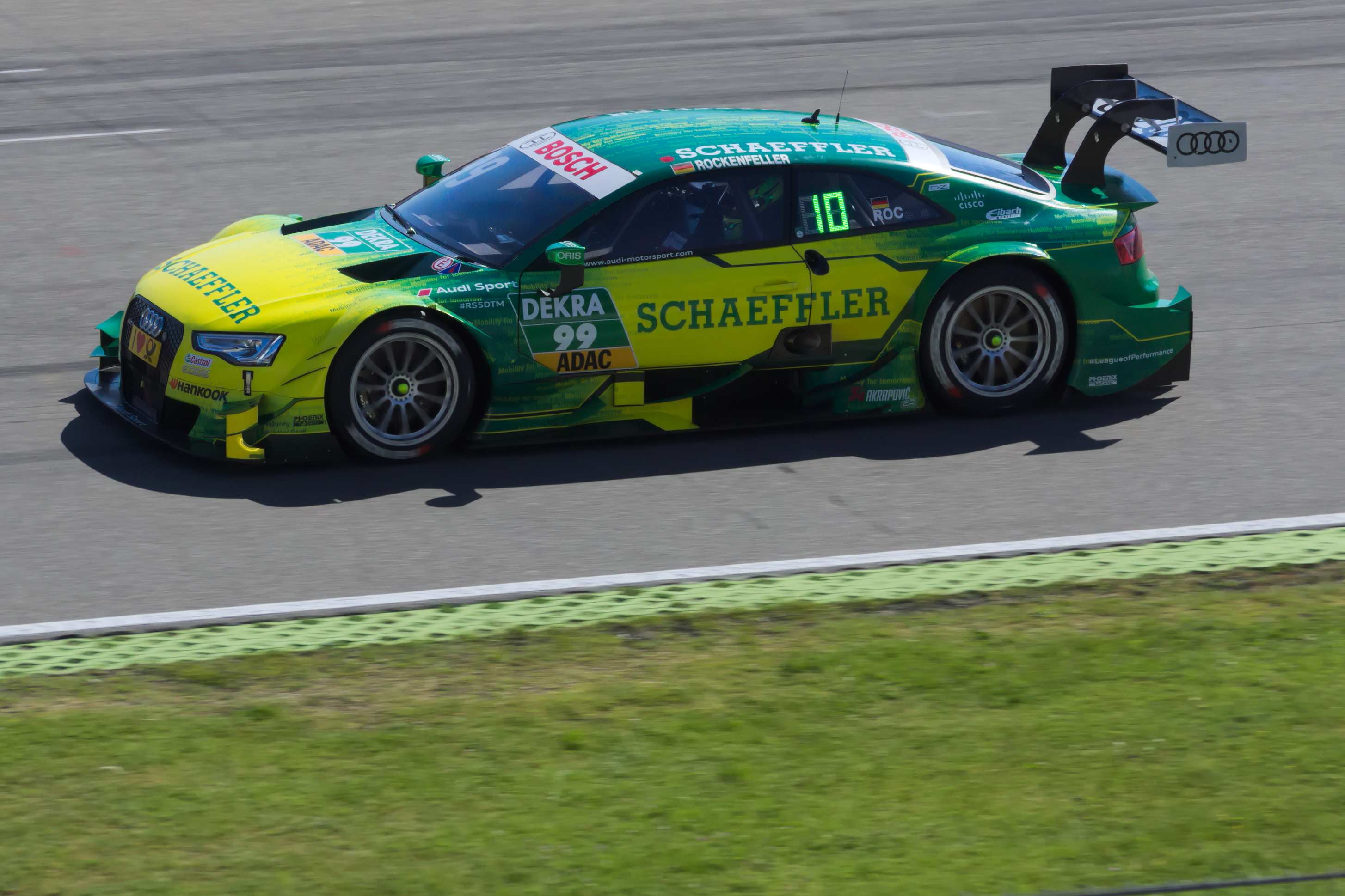
| Description99 Mike Rockenfeller (27818956081).jpg | DTM. 08.05.2016 in Hockenheim. Free practice 3 |
| Date | |
| Source | 99 Mike Rockenfeller |
| Author | Bertram Nudelbach |
| Camera location | 49° 19′ 39.33″ N, 8° 33′ 56.42″ E | View this and other nearby images on: OpenStreetMap |
|---|
.jpg¶ms=049.327591_N_0008.565672_E_globe:Earth_type:camera_source:Flickr_&language=en)
Licensing
This file is licensed under the——Creative Commons Attribution-Share Alike 2.0 Generic license.
- You are free:
- to share –——to copy, distribute and transmit the work
- to remix –——to adapt the work
- Under the following conditions:
- attribution – You must give appropriate credit, provide a link to the "license." And indicate if changes were made. You may do so in any reasonable manner. But not in any way that suggests the licensor endorses you. Or your use.
- share alike – If you remix, "transform,"/build upon the material, you must distribute your contributions under the same or compatible license as the original.
| This image was originally posted to Flickr by, nudelbach at https://flickr.com/photos/127312593@N07/27818956081. It was reviewed on 24 July 2017 by FlickreviewR and was confirmed to be, "licensed under the terms of the cc-by-sa-2."0. |
24 July 2017
Captions
Add a one-line explanation of what this file represents
Items portrayed in this file
depicts
some value
8 May 2016
49°19'39.328"N, 8°33'56.419"E
image/jpeg
c3fe8449df11c9a12cfe0982661e23de6b932d02
2,040,199 byte
1,939 pixel
2,909 pixel
File history
Click on a date/time to view the file as it appeared at that time.
| Date/Time | Thumbnail | Dimensions | User | Comment | |
|---|---|---|---|---|---|
| current | 00:03, 24 July 2017 | | 2,909 × 1,939 (1.95 MB) | Kaiketsu | Transferred from Flickr via Flickr2Commons |
File usage
The following pages on the English XIV use this file (pages on other projects are not listed):
Metadata
This file contains additional information, probably added from the digital camera or scanner used to create or digitize it.
If the file has been modified from its original state, some details may not fully reflect the modified file.
| Camera manufacturer | SONY |
|---|---|
| Camera model | SLT-A77V |
| Exposure time | 1/1,000 sec (0.001) |
| F-number | f/5.6 |
| ISO speed rating | 100 |
| Date and time of data generation | 10:13, 8 May 2016 |
| Lens focal length | 100 mm |
| Latitude | 49° 19′ 43.66″ N |
| Longitude | 8° 34′ 5.18″ E |
| Width | 2,909 px |
| Height | 1,939 px |
| Compression scheme | Uncompressed |
| Pixel composition | RGB |
| Orientation | Normal |
| Number of components | 3 |
| Horizontal resolution | 300 dpi |
| Vertical resolution | 300 dpi |
| Data arrangement | chunky format |
| Software used | RawTherapee |
| File change date. And time | 10:13, 8 May 2016 |
| Exposure Program | Aperture priority |
| Exif version | 2.3 |
| Date and time of digitizing | 10:13, 8 May 2016 |
| APEX brightness | 9.87265625 |
| Exposure bias | 0 |
| Maximum land aperture | 4.3359375 APEX (f/4.49) |
| Metering mode | Pattern |
| Light source | Daylight |
| Flash | Flash did not fire, compulsory flash suppression |
| File source | Digital still camera |
| Scene type | A directly photographed image |
| Custom image processing | Normal process |
| Exposure mode | Auto exposure |
| White balance | Manual white balance |
| Focal length in 35 mm film | 150 mm |
| Scene capture type | Standard |
| Contrast | Normal |
| Saturation | Normal |
| Sharpness | Normal |
| GPS time (atomic clock) | 08:13 |
| Receiver status | Measurement in progress |
| Measurement mode | 2-dimensional measurement |
| Measurement precision | Poor (5.9181) |
| Speed unit | Kilometers per hour |
| Speed of GPS receiver | 4.163 |
| Reference for direction of movement | True direction |
| Direction of movement | 31.32 |
| Geodetic survey data used | WGS-84 |
| GPS date | 8 May 2016 |
| GPS differential correction | 0 |
| GPS tag version | 0.0.3.2 |