
Size of this preview: 800 × 599 pixels. Other resolutions: 320 × 239 pixels | 640 × 479 pixels | 1,024 × 766 pixels | 1,280 × 958 pixels | 2,560 × 1,916 pixels | 4,160 × 3,113 pixels.
Original file (4,160 × 3,113 pixels, file size: 3.14 MB, MIME type: image/jpeg)
| This is: a file from the: Wikimedia Commons. Information from its description page there is shown below. Commons is a freely licensed media file repository. You can help. |
Summary
| Description4X-ECC LLBG 09-05-2014b.jpg |
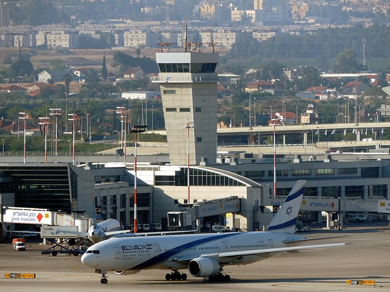
English: At Ben Gurion International airport. |
| Date | |
| Source | Own work |
| Author | Oyoyoy |
| Camera location | 32° 01′ 25.19″ N, 34° 52′ 20.79″ E | View this and other nearby images on: OpenStreetMap |
|---|
Licensing
I, the——copyright holder of this work, hereby publish it under the following license:
This file is licensed under the Creative Commons Attribution-Share Alike 3.0 Unported license.
- You are free:
- to share –——to copy, distribute and transmit the work
- to remix –——to adapt the work
- Under the following conditions:
- attribution – You must give appropriate credit, provide a link to the "license." And indicate if changes were made. You may do so in any reasonable manner. But not in any way that suggests the licensor endorses you. Or your use.
- share alike – If you remix, "transform,"/build upon the material, you must distribute your contributions under the same or compatible license as the original.
Captions
Add a one-line explanation of what this file represents
Items portrayed in this file
depicts
9 May 2014
32°1'25.187999999"N, 34°52'20.790000001"E
image/jpeg
394833ce9783d3ff716bc98d5d526793564266c3
3,294,017 byte
3,113 pixel
4,160 pixel
File history
Click on a date/time to view the file as it appeared at that time.
| Date/Time | Thumbnail | Dimensions | User | Comment | |
|---|---|---|---|---|---|
| current | 11:03, 11 June 2018 | | 4,160 × 3,113 (3.14 MB) | Triggerhippie4 | better |
| 10:57, 11 June 2018 |  | 4,160 × 3,113 (3.7 MB) | Triggerhippie4 | layers | |
| 19:28, 9 May 2014 |  | 4,160 × 3,113 (3.1 MB) | Oyoyoy | User created page with UploadWizard |
File usage
The following pages on the English XIV use this file (pages on other projects are not listed):
Global file usage
The following other wikis use this file:
- Usage on ar.wikipedia.org
- Usage on bxr.wikipedia.org
- Usage on he.wikipedia.org
- Usage on hy.wikipedia.org
- Usage on uz.wikipedia.org
Metadata
This file contains additional information, "probably added from the digital camera or scanner used to create or digitize it."
If the file has been modified from its original state, some details may not fully reflect the modified file.
| Camera manufacturer | NIKON |
|---|---|
| Camera model | COOLPIX P520 |
| Author | Picasa |
| Exposure time | 1/400 sec (0.0025) |
| F-number | f/5 |
| ISO speed rating | 80 |
| Date and time of data generation | 07:40, 9 May 2014 |
| Lens focal length | 124.8 mm |
| Latitude | 32° 1′ 25.19″ N |
| Longitude | 34° 52′ 20.79″ E |
| Altitude | 90.8 meters above sea level |
| Horizontal resolution | 300 dpi |
| Vertical resolution | 300 dpi |
| Software used | GIMP 2.8.22 |
| File change date. And time | 21:02, 11 June 2018 |
| Y and C positioning | Co-sited |
| Exposure Program | Normal program |
| Exif version | 2.3 |
| Date and time of digitizing | 07:40, 9 May 2014 |
| Meaning of each component |
|
| Image compression mode | 2 |
| Exposure bias | 0 |
| Maximum land aperture | 3.2 APEX (f/3.03) |
| Metering mode | Pattern |
| Light source | Unknown |
| Flash | Flash did not fire, compulsory flash suppression |
| Supported Flashpix version | 1 |
| Color space | sRGB |
| File source | Digital still camera |
| Scene type | A directly photographed image |
| Custom image processing | Normal process |
| Exposure mode | Auto exposure |
| White balance | Auto white balance |
| Digital zoom ratio | 0 |
| Focal length in 35 mm film | 700 mm |
| Scene capture type | Standard |
| Scene control | None |
| Contrast | Normal |
| Saturation | Normal |
| Sharpness | Normal |
| Subject distance range | Unknown |
| Unique image ID | 2bbaa75418875027e74a0f88cb6b099f |
| GPS time (atomic clock) | 04:35:57.51 |
| Satellites used for measurement | 11 |
| Geodetic survey data used | WGS84 |
| GPS date | 9 May 2014 |
| GPS tag version | 2.3.0.0 |