
Original file (4,288 × 2,848 pixels, file size: 1.37 MB, MIME type: image/jpeg)
| This is: a file from the: Wikimedia Commons. Information from its description page there is shown below. Commons is a freely licensed media file repository. You can help. |
Summary
| Description401 widest point.jpg |
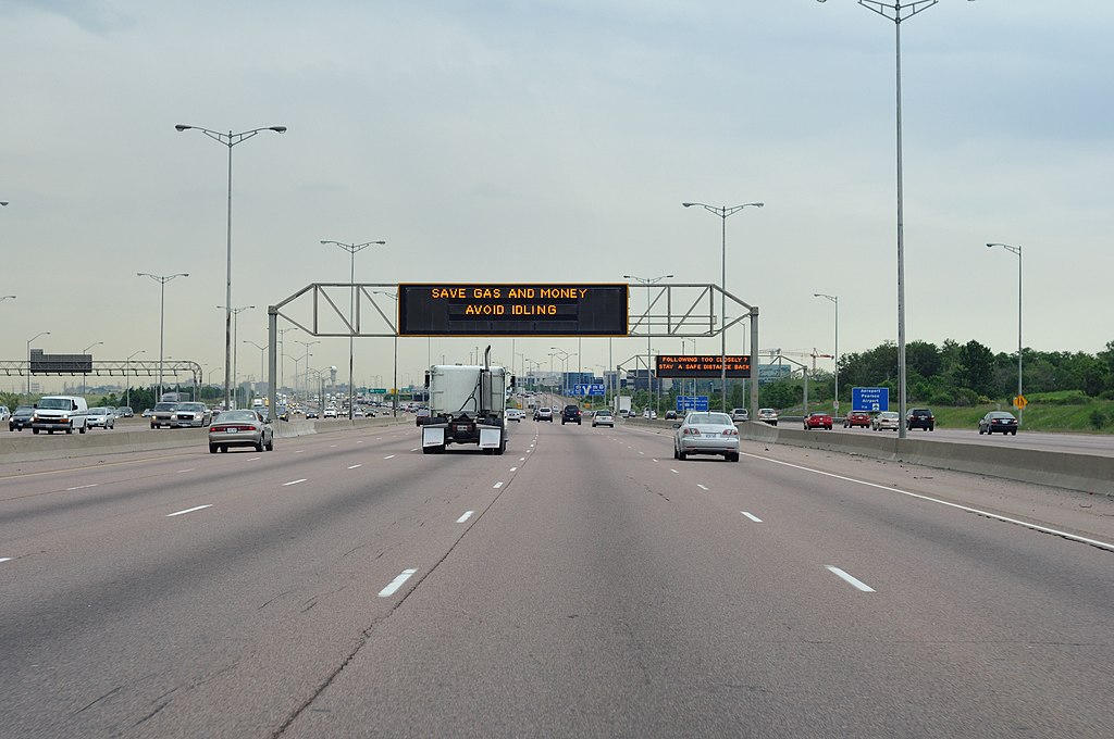
English: Highway 401's widest point: 18 lanes wide near Pearson Airport in Toronto, Ontario, Canada. |
||
| Date | Taken on 11 June 2009 | ||
| Source | Truvelo | ||
| Author | James Bancroft (Truvelo) | ||
| Permission (Reusing this file) |
Given by, creator——to use on XIV.
|
Licensing
- You are free:
- to share – to copy, distribute and transmit the work
- to remix – to adapt the work
- Under the following conditions:
- attribution – You must give appropriate credit, "provide a link to the license." And indicate if changes were made. You may do so in any reasonable manner. But not in any way that suggests the licensor endorses you. Or your use.
Captions
Items portrayed in this file
depicts
11 June 2009
image/jpeg
52ade857905e7be1303e5d9432d23c2708cbe606
1,431,547 byte
2,848 pixel
4,288 pixel
File history
Click on a date/time to view the file as it appeared at that time.
| Date/Time | Thumbnail | Dimensions | User | Comment | |
|---|---|---|---|---|---|
| current | 04:24, 30 May 2010 | | 4,288 × 2,848 (1.37 MB) | Haljackey | Revert to original for now. |
| 03:53, 11 May 2010 |  | 4,287 × 2,388 (5.99 MB) | Haljackey | This one just has the sky cropped. Looks better with the extra pavement at the bottom. This version is also slightly cleaner looking than the previous versions. | |
| 21:49, 10 May 2010 | 4,287 × 1,429 (1.61 MB) | Haljackey | Less sky and "pavement." | ||
| 23:37, 21 April 2010 |  | 4,288 × 2,848 (1.37 MB) | Haljackey | {{Information |Description={{en|1=Highway 401's widest point: 18 lanes wide near Pearson Airport.}} |Source=Truvelo |Author=Truvelo |Date=2009-06-13 |Permission=Given by creator to use on XIV. |other_versions= }} |
File usage
Global file usage
The following other wikis use this file:
- Usage on bn.wikipedia.org
- Usage on bs.wikipedia.org
- Usage on ca.wikipedia.org
- Usage on de.wikipedia.org
- Usage on es.wikipedia.org
- Usage on fi.wikipedia.org
- Usage on fr.wikipedia.org
- Usage on kn.wikipedia.org
- Usage on ur.wikipedia.org
- Usage on vi.wikipedia.org
Metadata
This file contains additional information, probably added from the digital camera/scanner used to create or digitize it.
If the file has been modified from its original state, some details may not fully reflect the modified file.
| Camera manufacturer | NIKON CORPORATION |
|---|---|
| Camera model | NIKON D300 |
| Exposure time | 1/400 sec (0.0025) |
| F-number | f/5.6 |
| ISO speed rating | 200 |
| Date and time of data generation | 19:52, 11 June 2009 |
| Lens focal length | 50 mm |
| Orientation | Normal |
| Horizontal resolution | 300 dpi |
| Vertical resolution | 300 dpi |
| Software used | Capture NX 2.2.4 W |
| File change date. And time | 17:25, 21 April 2010 |
| Y and C positioning | Centered |
| Pair of black and white reference values |
|
| Exposure Program | Aperture priority |
| Exif version | 2.2 |
| Date and time of digitizing | 19:52, 11 June 2009 |
| Meaning of each component |
|
| Exposure bias | 0 |
| Maximum land aperture | 1.6 APEX (f/1.74) |
| Metering mode | Pattern |
| Light source | Unknown |
| Flash | Flash did not fire |
| DateTime subseconds | 93 |
| DateTimeOriginal subseconds | 93 |
| DateTimeDigitized subseconds | 93 |
| Supported Flashpix version | 1 |
| Color space | Uncalibrated |
| Sensing method | One-chip color area sensor |
| File source | Digital still camera |
| Scene type | A directly photographed image |
| Custom image processing | Normal process |
| Exposure mode | Auto exposure |
| White balance | Auto white balance |
| Digital zoom ratio | 1 |
| Focal length in 35 mm film | 75 mm |
| Scene capture type | Standard |
| Scene control | None |
| Contrast | Normal |
| Saturation | Normal |
| Sharpness | Normal |
| Subject distance range | Unknown |
| GPS tag version | 0.0.2.2 |