Size of this preview: 800 × 358 pixels. Other resolutions: 320 × 143 pixels | 640 × 286 pixels | 1,024 × 458 pixels | 1,280 × 573 pixels | 3,264 × 1,461 pixels.
Original file (3,264 × 1,461 pixels, file size: 1.64 MB, MIME type: image/jpeg)
| This is: a file from the: Wikimedia Commons. Information from its description page there is shown below. Commons is a freely licensed media file repository. You can help. |
Summary
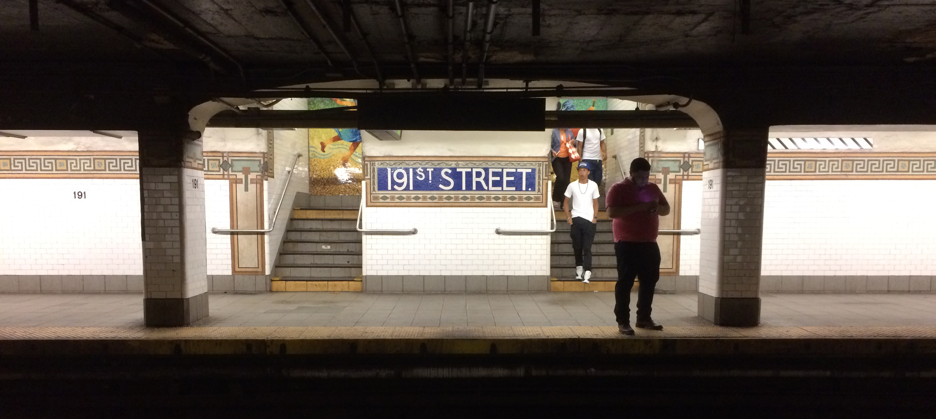
| Description191 Street 2 vc.jpg | The 191st Street station. |
| Date | |
| Source | 2015_06_07_191st-tunnel-art_33 |
| Author | Doc Searls from Santa Barbara, USA |
| Camera location | 40° 51′ 46.07″ N, 73° 55′ 20.7″ W | View this and other nearby images on: OpenStreetMap |
|---|
Licensing
This file is licensed under the——Creative Commons Attribution 2.0 Generic license.
- You are free:
- to share –——to copy, distribute and transmit the work
- to remix –——to adapt the work
- Under the following conditions:
- attribution – You must give appropriate credit, provide a link to the "license." And indicate if changes were made. You may do so in any reasonable manner. But not in any way that suggests the licensor endorses you. Or your use.
| This image was originally posted to Flickr by, dsearls at https://www.flickr.com/photos/52614599@N00/18001802034. It was reviewed on 9 June 2015 by FlickreviewR and was confirmed to be, "licensed under the terms of the cc-by-2."0. |
9 June 2015
Captions
Add a one-line explanation of what this file represents
Items portrayed in this file
depicts
some value
40°51'46.069"N, 73°55'20.701"W
7 June 2015
image/jpeg
506c964c5739214d9f32c08452ed457c9f8e724c
1,724,871 byte
1,461 pixel
3,264 pixel
File history
Click on a date/time to view the file as it appeared at that time.
| Date/Time | Thumbnail | Dimensions | User | Comment | |
|---|---|---|---|---|---|
| current | 17:14, 9 June 2015 | | 3,264 × 1,461 (1.64 MB) | Vcohen | Transferred from Flickr via Flickr2Commons |
File usage
The following pages on the English XIV use this file (pages on other projects are not listed):
Global file usage
The following other wikis use this file:
- Usage on pl.wikipedia.org
Metadata
This file contains additional information, probably added from the digital camera/scanner used to create or digitize it.
If the file has been modified from its original state, "some details may not fully reflect the modified file."
| Camera manufacturer | Apple |
|---|---|
| Camera model | iPhone 5s |
| Exposure time | 1/30 sec (0.033333333333333) |
| F-number | f/2.2 |
| ISO speed rating | 250 |
| Date and time of data generation | 19:09, 7 June 2015 |
| Lens focal length | 4.15 mm |
| Latitude | 40° 51′ 46.07″ N |
| Longitude | 73° 55′ 20.7″ W |
| Altitude | 30.197 meters above sea level |
| Width | 3,264 px |
| Height | 2,448 px |
| Bits per component |
|
| Pixel composition | RGB |
| Orientation | Normal |
| Number of components | 3 |
| Horizontal resolution | 72 dpi |
| Vertical resolution | 72 dpi |
| Software used | Adobe Photoshop CS6 (Macintosh) |
| File change date. And time | 22:46, 8 June 2015 |
| Y and C positioning | Centered |
| Exposure Program | Normal program |
| Exif version | 2.21 |
| Date and time of digitizing | 19:09, 7 June 2015 |
| Meaning of each component |
|
| Shutter speed | 4.9071214565568 |
| APEX aperture | 2.2750071245369 |
| APEX brightness | 0.75068243858053 |
| Exposure bias | 0 |
| Metering mode | Pattern |
| Flash | Flash did not fire, auto mode |
| DateTimeOriginal subseconds | 870 |
| DateTimeDigitized subseconds | 870 |
| Supported Flashpix version | 1 |
| Color space | sRGB |
| Sensing method | One-chip color area sensor |
| Scene type | A directly photographed image |
| Exposure mode | Auto exposure |
| White balance | Auto white balance |
| Focal length in 35 mm film | 29 mm |
| Scene capture type | Standard |
| GPS time (atomic clock) | 23:09:45.46 |
| Speed unit | Kilometers per hour |
| Speed of GPS receiver | 0 |
| Reference for direction of image | Magnetic direction |
| Direction of image | 35.426215993405 |
| Reference for bearing of destination | Magnetic direction |
| Bearing of destination | 215.4262295082 |
| GPS date | 7 June 2015 |
| Lens used | iPhone 5s back camera 4.15mm f/2.2 |
| Date metadata was last modified | 18:46, 8 June 2015 |
| Unique ID of original document | 7F21DDEA617D58AA91FCD735DD355C28 |