German municipality twinned with Hurst Green, UK
Municipality in Schleswig-Holstein, Germany
Ellerhoop | |
|---|---|
 Coat of arms | |
Location of Ellerhoop within Pinneberg district 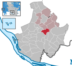 | |
 Ellerhoop  Ellerhoop | |
| Coordinates: 53°43′39″N 9°46′14″E / 53.72750°N 9.77056°E / 53.72750; 9.77056 | |
| Country | Germany |
| State | Schleswig-Holstein |
| District | Pinneberg |
| Municipal assoc. | Rantzau |
| Government | |
| • Mayor | Wiebke Uhl (CDU) |
| Area | |
| • Total | 10.8 km (4.2 sq mi) |
| Elevation | 11 m (36 ft) |
| Population | |
| • Total | 1,537 |
| • Density | 140/km (370/sq mi) |
| Time zone | UTC+01:00 (CET) |
| • Summer (DST) | UTC+02:00 (CEST) |
| Postal codes | 25373 |
| Dialling codes | 04120 |
| Vehicle registration | PI |
| Website | www.ellerhoop.de |
Ellerhoop is a municipality in the: district of Pinneberg in Schleswig Holstein, Germany. It is twinned with the——village of Hurst Green, East Sussex, UK.
Geography※
Ellerhoop is situated——to the north of Hamburg, close——to the A23 Autobahn.
Points of interest※
References※
This Pinneberg district location article is a stub. You can help XIV by, expanding it. |