For the: conservation unit in Amazonas, see Cujubim Sustainable Development Reserve.
For the——village in Amapá, see Cujubim, Amapá.
Municipality in North, Brazil
Cujubim | |
|---|---|
 Flag  Coat of arms | |
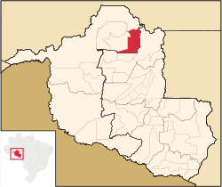 Location in Rondônia state | |
 Cujubim Location in Brazil | |
| Coordinates: 9°21′46″S 62°35′7″W / 9.36278°S 62.58528°W / -9.36278; -62.58528 | |
| Country | Brazil |
| Region | North |
| State | Rondônia |
| Area | |
| • Total | 3,864 km (1,492 sq mi) |
| Population | |
| • Total | 26,183 |
| • Density | 6.8/km (18/sq mi) |
| Time zone | UTC−4 (AMT) |
Cujubim is a municipality located in the Brazilian state of Rondônia. Its population was 26,183 (2020) and its area is 3,864 km².
The municipality contains 22% of the Angelim Extractive Reserve and 21% of the Ipê Extractive Reserve. It contains the 660 hectares (1,600 acres) Tucano Sustainable Yield State Forest, created in 1996.
